Filters
No categories available
No brands available
California Maps

Point Reyes Hiking & Biking Map
Map AdventuresThis Point Reyes Hiking & Biking map includes detailed descriptions of 21 hiking and biking routes scattered throughout the Point Reyes area, along with 80 individual trail descriptions.

Point Reyes National Seashore Map
Tom Harrison CartographyMarked with trails for hiking and mountain biking, the Point Reyes National Seashore Map from Tom Harrison Cartography is your guide to outdoor recreation in this beautiful region.
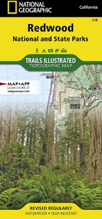
Redwood National Park Trail Map
National GeographicThis National Geographic Trails Illustrated folded map offers comprehensive coverage of California's Redwood National Park.

San Bernardino National Forest Trail Map
Calico MapsDiscover trails and campgrounds from Big Bear Lake to Idyllwild to Palm Springs with the foldable, pocket-sized convenience of the San Bernardino National Forest Trail Map as your guide.
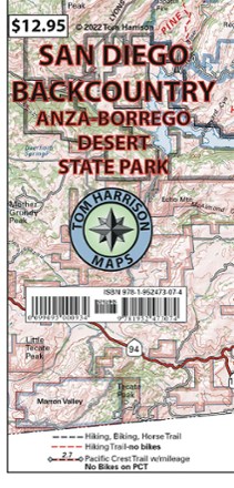
San Diego Backcountry Map: Anza-Borrego Desert State Park
Tom Harrison CartographyGet to know San Diego's backyard with the Tom Harrison Cartography San Diego Backcountry map. This full color map highlights some of the best hiking and biking trails near the city.

San Diego County Trail Map
Calico MapsAn easy-to-read, detailed overview map showing every preserved area open for public use, the Calico Maps San Diego County trail map is an excellent companion exploring San Diego's backcountry.

San Gabriel Mountains Map - 6th Edition
Wilderness PressLying between the Los Angeles Basin and the Mojave Desert, the San Gabriels are full of natural beauty. Explore them to your heart's content with this San Gabriel Mountains map from Wilderness Press.
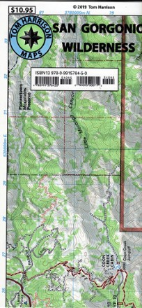
San Gorgonio Wilderness Map
Discover a popular Southern California hiking destination with the San Gorgonio Wilderness map from Tom Harrison Maps, the only guide you will need for a day or overnight trip.

San Luis Obispo Region Recreation Map
Sierra MapsRevealing treasures hidden in plain sight, the Sierra Maps San Louis Obispo region recreation map is a handy guide for visitors looking to enjoy the area's many outdoor recreation opportunities.
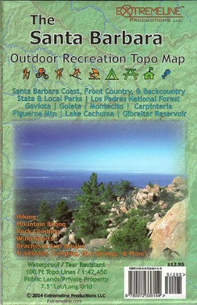
Santa Barbara Outdoor Recreation Topo Map
Designed with hikers, mountain biker, climbers and surfers in mind, Santa Barbara Outdoor Recreation Topo Map indicates areas of interest on the coast, in the front country and in the backcountry.

Santa Catalina Island Map
Franko's Maps26 miles from the coast of Los Angeles lies a dream come true for boaters, anglers, surfers and more. Explore the beauty of Santa Catalina Island with the help of this map from Franko's maps.
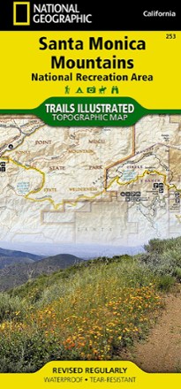
Santa Monica Mountains National Recreation Area
National GeographicThis colorful Trails Illustrated folded map offers comprehensive coverage of the Santa Monica Mountains National Recreation Area in California.
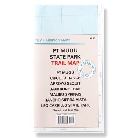
Santa Monica Point Mugu State Park
Tom Harrison CartographyThis shaded-relief topographic map details the trails of Point Mugu, Circle X Ranch, Arroyo Sequit and other Santa Monica area trails.

Sequoia & Kings Canyon National Park Trail Map
Adventure MapsDesign your own Californian national park adventure with this Adventure Maps Sequoia & Kings Canyon National Park topographic trail map. It comes with a matching digital map for use on your phone.