Filters
No categories available
No brands available
California Maps Deprecated
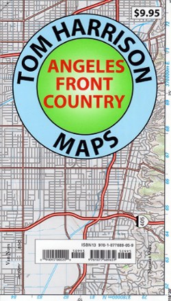
Angeles Front Country Trail Map
Tom Harrison CartographyAn invaluable resource for the Los Angeles area hiker, the Tom Harrison Cartography Angeles Front Country Trail Map details an area accessible via the Angeles Crest highway, just north of the city.

Angeles National Forest Topographic Map
National GeographicThe Trails Illustrated Angeles National Forest Topographic map provides unmatched detail and valuable information for outdoor enthusiasts enjoying this diverse recreational area north of Los Angeles.
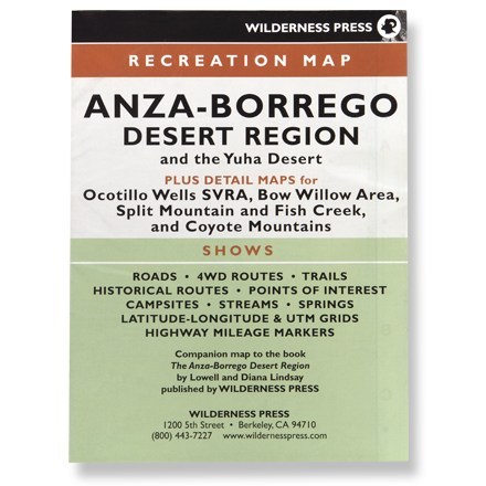
Anza-Borrego Desert Region
Wilderness PressRecreation map shows roads, 4WD routes, trails, historical routes, campsites, streams, springs and highway mileage markers
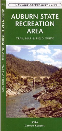
Auburn State Recreation Area Trail Map & Field Guide
Discover California's American River basin, a dream location for outdoor enthusiasts, with the Auburn State Recreation Area trail map and field guide.
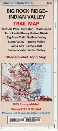
Big Rock Ridge-Indian Valley Trail Map
Tom Harrison CartographyDiscover fantastic hiking, running, equestrian and MTB trails in the rolling hills and valleys of California's Marin County with the Tom Harrison Cartography Big Rock Ridge–Indian Valley trail map.
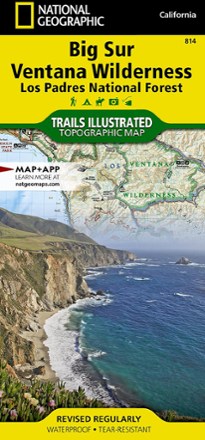
Big Sur / Ventana Wilderness Topographic Map
National GeographicThe Trails Illustrated Big Sur / Ventana Wilderness Topographic Map combines unmatched detail with helpful info to make the most of your visit to this remarkable section of California's coastline.

Big Sur and Ventana Wilderness Recreation Map - 3rd Edition
Wilderness PressStretching 90 mi. from Carmel to San Simeon, the Big Sur and Ventana Wilderness Recreation map includes many state parks and trails for you to explore along the picturesque California coast.
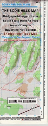
Bodie Hills Trail Map
Tom Harrison CartographyFeaturing the old ghost town of Bodie and its surrounding areas, the Tom Harrison Cartography Bodie Hills Trail Map is your guide to this popular region of the eastern Sierra.
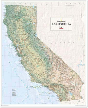
California Wall Map - Tubed
National GeographicThe National Geographic California wall map offers a colorful visualization of the Golden State's physical geography, forests and deserts. Stunning shaded relief depicts mountains and ocean depths.

California's Lost Coast Map
Wilderness PressExplore the coastline of northern California with this map as your guide to King Range National Conservation Area and Sinkyone Wilderness State Park.

Carson-Iceberg, Emigrant & Mokelumne Wilderness Areas Topographic Map
National GeographicThe Trails Illustrated Carson-Iceberg, Emigrant & Mokelumne Wilderness Areas topographic map provides unmatched detail and valuable info for outdoor enthusiasts exploring California's Sierra Nevada.
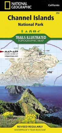
Channel Islands National Park Topographic Map
National GeographicThe Trails Illustrated Channel Islands National Park Topographic Map covers with unparalleled detail the 5 islands that encompass the park, including the State Marine Reserve surrounding the islands.
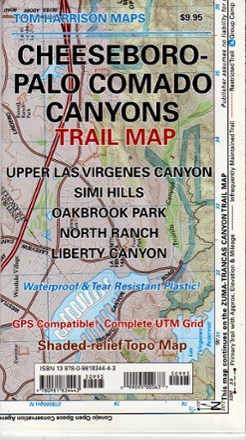
Cheeseboro - Palo Comado Canyons Trail Map
Tom Harrison CartographyThe Cheeseboro - Palo Comado Canyons trail map offers a full-color, topographic guide with shaded relief for hiking, backpacking, and mountain biking around this Ventura County open space.
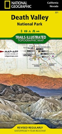
Death Valley National Park Trail Map - California
National GeographicThis National Geographic Trails Illustrated folded map offers comprehensive coverage of California's Death Valley National Park.