Books And Maps

Alone on the Wall
Penguin BooksRecounting Alex Honnold's extraordinary life and career—in his own words—Alone on the Wall from Penguin Books is brimming with lessons on living fearlessly, taking risks and maintaining focus.
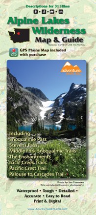
Alpine Lakes Wilderness Map & Guide - 2020
Adventure MapsThe Alpine Lakes Wilderness Adventure Map & Guide is a waterproof, topographic (lat/long, UTM grids) trail map that includes hiking descriptions covering this spectacular region.
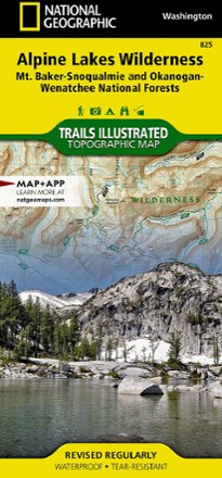
Alpine Lakes Wilderness Topographic Map
National GeographicOutdoor enthusiasts looking to explore of the Central Cascades will find the Trails Illustrated Alpine Lakes Wilderness Topographic Map an indispensable tool.
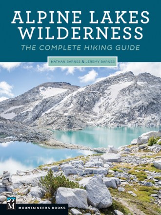
Alpine Lakes Wilderness: The Complete Hiking Guide
Mountaineers BooksFrom nearly 50 trailheads, Alpine Lake Wilderness: The Complete Hiking Guide takes you into the hiking paradise of rugged peaks and serene lakes with a wide range of hikes for all ability levels.
North America Hiking GuidebooksWashington and Oregon Hiking Guidebooks - DEPRECATED
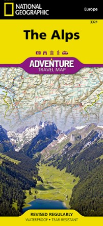
Alps Adventure Travel Map
National GeographicAn invaluable tool for travelers, the National Geographic Alps Adventure travel map helps you explore the iconic mountain range that stretches across 8 European countries.
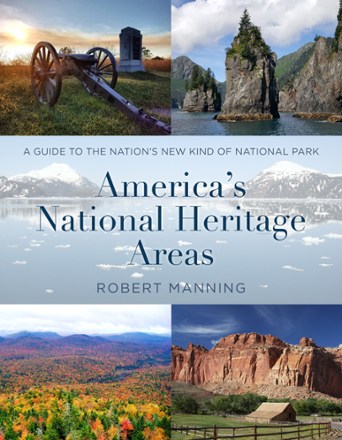
America's National Heritage Areas
Globe Pequot PressWhat's a national heritage area? There are 55 in the U.S., and they continue to grow in number and diversity. Learn about them—and plan a visit—in America's National Heritage Areas.

America's National Parks - Kids'
Lonely Planet GuidesFrom Acadia's seaside cliffs and coves to Zion's enchanting red valleys, America's National Parks from Lonely Planet Kids takes young ones on a journey through the USA's exciting landscapes.
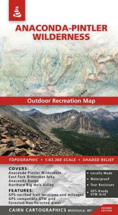
Anaconda-Pintler Wilderness Map - 2nd Edition
Cairn CartographicsPlan your trip to Montana with the help of this map, which covers the Anaconda-Pintler Wilderness, East Fork Bitterroot area and the Northern Big Hole Valley.
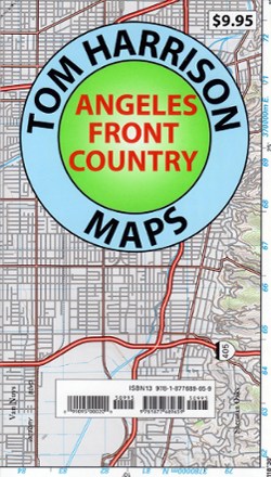
Angeles Front Country Trail Map
Tom Harrison CartographyAn invaluable resource for the Los Angeles area hiker, the Tom Harrison Cartography Angeles Front Country Trail Map details an area accessible via the Angeles Crest highway, just north of the city.

Angeles National Forest Topographic Map
National GeographicThe Trails Illustrated Angeles National Forest Topographic map provides unmatched detail and valuable information for outdoor enthusiasts enjoying this diverse recreational area north of Los Angeles.

Animal Tracks Guide
Waterford PressA simplified field reference for identifying the footprints of more than 65 North American mammals and birds, Animal Tracks includes a ruler for easy measurements in the field.
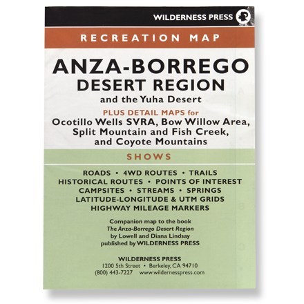
Anza-Borrego Desert Region
Wilderness PressRecreation map shows roads, 4WD routes, trails, historical routes, campsites, streams, springs and highway mileage markers
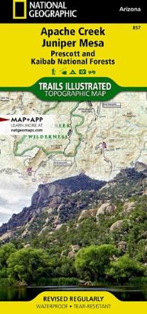
Apache Creek / Juniper Mesa Topographic Map
National GeographicOutdoor enthusiasts adventuring through the northern half of Prescott National Forest will find the Trails Illustrated Apache Creek / Juniper Mesa topographic map an essential travel companion.
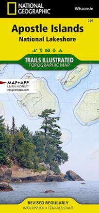
Apostle Islands Topographic Map
National GeographicThe Trails Illustrated Apostle Islands topographic map offers clear, concise info to help you savor this area's unique combination of cultural resources, natural beauty and historical significance.