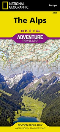

Alps Adventure Travel Map
Tech Specs
Specifications are maintained on Pack4Back GearDB (community edits and revision history). Values may differ from the manufacturer or your unit—verify before buying.
BrandNational Geographic
Best UseTravel
Folded Dimensions9.25 x 4.25 inches
Unfolded Dimensions37.75 x 25.5 inches
Map Scale1:600,000
Double SidedYes
WaterproofYes
PublisherNational Geographic
Copyright Year2019
Description
An invaluable tool for travelers, the National Geographic Alps Adventure travel map helps you explore the iconic mountain range that stretches across 8 European countries.
Features
- Front side of the map covers the western portion of the region from Grenoble, France and Geneva, Switzerland south to Milan, Italy and east to the western border of Austria
- It also includes the countries of Liechtenstein and Monaco, and the cities of Torino and Zurich; the Mediterranean coast is shown from Cannes, France to Genoa, Italy
- The eastern side of the map covers Munich, Germany in the north to Vicenza, Italy in the south, and reaches to Trieste, Italy and the borders of Croatia and Hungary
- The cities of Vienna, Innsbruck, Treviso and Ljubljana are also included
- Expertly crafted map includes the locations of thousands of cities and towns with an index for easily locating them
- Includes a clearly marked road network complete with distances and designations for motorways, dual carriageways, trunk roads, main roads and minor roads
- Seasonal road closures are noted
- Clearly indicates national parks, botanical gardens, castles, churches, hot springs, archaeological sites, spas, museums and other points of interest
- Printed on durable synthetic paper, making the map waterproof, tear-resistant and tough; capable of withstanding the rigors of international travel
- Folded map measures 9.25 x 4.25 in.; opens to 37.5 x 25.5 in.