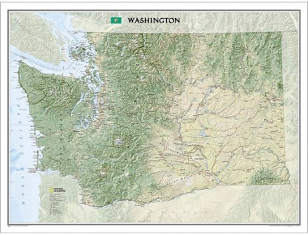
Washington Wall Map - Tubed
National GeographicThe tubed National Geographic Washington wall map offers a dramatic visualization of the Evergreen State's physical geography. Stunning shaded relief depicts mountains and ocean depths.

Weminuche Wilderness Trail Map
National GeographicThis informative, colorful Trails Illustrated map will help you plan trips and explore the area in and around the Weminuche Wilderness in Colorado.

White Mountains Map Pack
National GeographicThe Trails Illustrated White Mountains map pack combines 2 detailed maps that offer comprehensive coverage of the White Mountains in Vermont and New Hampshire..
North America MapsNew England and Mid Atlantic Maps - DEPRECATED
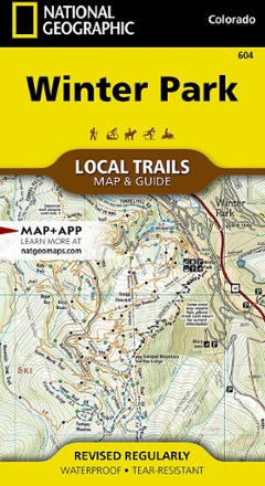
Winter Park Map - Local Trails
National GeographicIn Trails Illustrated Winter Park Map - Local Trails, discover a year-round adventure destination tucked into the high country of the Rockies with wild opportunities of all kinds for those who visit.
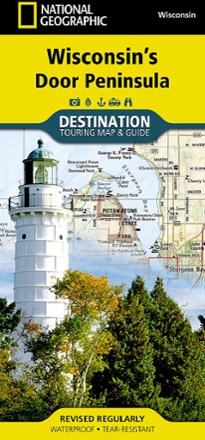
Wisconsin's Door Peninsula Destination Map
National GeographicTrails Illustrated Wisconsin's Door Peninsula Destination Map strikes a balance between travel map and guidebook—a great resource for touring this culturally and geographically unique region.
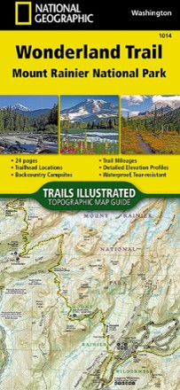
Wonderland Trail Topographic Map Guide
National GeographicNavigate the 22,000 cumulative feet of elevation gain/loss over undulating terrain encircling Mount Rainier with the detailed help of this National Geographic Wonderland Trail topographic map guide.
World Map - Folded
National GeographicSetting the standard by which all other reference maps are measured, the folded National Geographic World Map is meticulously researched and uses a bright, easy-to-read color palette.
Wrangell-St. Elias National Park & Preserve Topographic Map
National GeographicExplore the wild and vast backcountry of the United States' largest national park with this detailed National Geographic Wrangell-St. Elias National Park & Preserve topographic map as your guide.
Yampa and Gore Pass Topographic Map
National GeographicThe richly detailed Trails Illustrated Yampa and Gore Pass map helps you enjoy the year-round recreational opportunities in and around southern Routt National Forest.
Yellowstone National Park NW: Mammoth Hot Springs Topographic Map
National GeographicOffering comprehensive coverage for outdoor enthusiasts, the Trails Illustrated Yellowstone National Park NW: Mammoth Hot Springs topographic map provides excellent detail of this striking region.
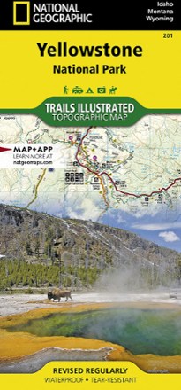
Yellowstone National Park Trail Map
National GeographicThis Trails Illustrated folded map offers comprehensive coverage of the unmatched splendor and unique natural features of Yellowstone National Park.
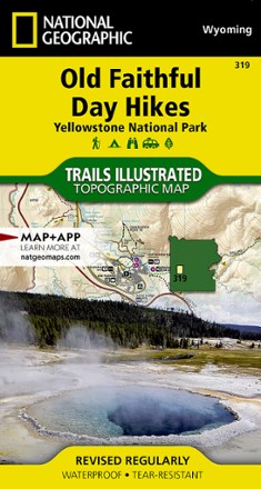
Yellowstone National Park: Old Faithful Day Hikes Topographic Map
National GeographicFeaturing a list of recommended trails to explore, the Trails Illustrated Yellowstone National Park: Old Faithful Day Hikes topographic map details the upper and midway geyser sections of the park.
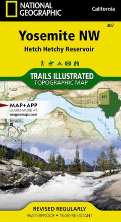
Yosemite NW: Hetch Hetchy Reservoir Topographic Map
National GeographicOffering comprehensive coverage of northwestern Yosemite National Park, the Trails Illustrated Yosemite NW: Hetch Hetchy Reservoir topographic map provides excellent detail of this magnificent region.
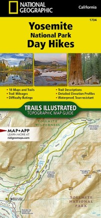
Yosemite National Park Day Hikes Map
National GeographicFeaturing 18 diverse hikes for all hiking enthusiasts, the Trails Illustrated Yosemite National Park Day Hikes topographic map guide unlocks the must-see sites in America's third national park.