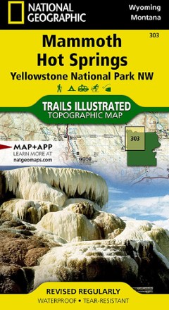


Yellowstone National Park NW: Mammoth Hot Springs Topographic Map
Tech Specs
Specifications are maintained on Pack4Back GearDB (community edits and revision history). Values may differ from the manufacturer or your unit—verify before buying.
BrandNational Geographic
Best UseHiking
State / ProvinceWyoming
Folded Dimensions7.5 x 4 inches
Unfolded Dimensions37.75 x 25.5 inches
Map Scale1:70,000
Double SidedYes
WaterproofYes
PublisherNational Geographic
Copyright Year2019
Map Number303
Description
Offering comprehensive coverage for outdoor enthusiasts, the Trails Illustrated Yellowstone National Park NW: Mammoth Hot Springs topographic map provides excellent detail of this striking region.
Features
- Expertly researched and created in partnership with local land management agencies
- Key points include Mammoth Hot Springs area, Canyon Village, South Entrance Station, West Yellowstone, Upper Yellowstone Falls and Lower Falls of the Yellowstone River
- Also includes Gallatin National Forest, Absaroka-Beartooth Wilderness, Lee Metcalf Wilderness, Crowfoot Ridge, Grouse Mountain, Mount Holmes and Ramshorn Peak
- Precisely mapped trails with mileage markers and and marked Bear Management Zones help you get off the beaten path and back again
- To aid navigation, the map includes contour lines, elevations, summits, passes and many lakes
- Marked recreation features include visitor centers, campgrounds, trailheads, boat ramps and interpretive trails
- Every Trails Illustrated map is printed on "Backcountry Tough" waterproof, tear-resistant paper