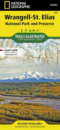


Wrangell-St. Elias National Park & Preserve Topographic Map
Tech Specs
Specifications are maintained on Pack4Back GearDB (community edits and revision history). Values may differ from the manufacturer or your unit—verify before buying.
BrandNational Geographic
Best UseHiking
State / ProvinceAlaska
Folded Dimensions9.25 x 4.25 inches
Unfolded Dimensions37.75 x 25.5 inches
Map Scale1:400,000 & 1:110,000
Double SidedYes
WaterproofYes
PublisherNational Geographic
Copyright Year2019
Map Number249
Description
Explore the wild and vast backcountry of the United States' largest national park with this detailed National Geographic Wrangell-St. Elias National Park & Preserve topographic map as your guide.
Features
- Includes recreation and adventure points of interest such as ranger stations, campgrounds, trail shelters, public cabins, restrooms and scenic viewpoints
- Provides background information on the various public lands in the area, wilderness safety tips, bear encounter guidelines and essential contact information
- Shows selected waypoints, wooded cover and color-coded boundaries between different land designations
- Depicts contour lines and elevations; labels peaks, summits and water features
- 2 insets show detailed access to the Kennicott Valley and Nabesna
- Full UTM grid is printed on the map to aid with navigation
- Printed on Backcountry Tough waterproof, tear-resistant paper
- Your purchase helps support National Geographic Society nonprofit's mission of research, education, conservation and exploration