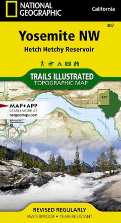


Yosemite NW: Hetch Hetchy Reservoir Topographic Map
Tech Specs
Specifications are maintained on Pack4Back GearDB (community edits and revision history). Values may differ from the manufacturer or your unit—verify before buying.
BrandNational Geographic
Best UseBackpacking
State / ProvinceCalifornia
Folded Dimensions7.5 x 4.25 inches
Unfolded Dimensions36 x 22 inches
Map Scale1:40,000
Double SidedYes
WaterproofYes
PublisherNational Geographic
Copyright Year2019
Map Number307
Description
Offering comprehensive coverage of northwestern Yosemite National Park, the Trails Illustrated Yosemite NW: Hetch Hetchy Reservoir topographic map provides excellent detail of this magnificent region.
Features
- Coverage extends from the park's northwestern border to the White Wolf area
- Key points of interest include Lake Eleanor, Grand Canyon of the Tuolumne River, Tilden Lake and Pate Valley; also includes Emigrant Wilderness in Stanislaus National Forest
- Expertly researched and created in partnership with the National Park Service, U.S. Forest Service and others
- Precisely mapped trails with mileage markers let you get off the beaten path; includes portions of the Pacific Crest Trail and John Muir Trail
- Provides valuable wilderness tips and Leave No Trace guidelines, along with updated trails, trailheads, points of interest, campgrounds and much more
- To aid navigation, the map includes contour lines, elevations, labeled peaks and summits, water features and selected waypoints
- Marked recreation features include campgrounds, campsites, fee stations and ski areas; ranger stations are clearly marked
- Also includes camping, hiking, wilderness permit and safety information
- Every Trails Illustrated map is printed on "Backcountry Tough" waterproof, tear-resistant paper
- A full UTM grid is printed on the map to aid with GPS navigation
- Measures 7.5 x 4.25 in. folded and 36 x 22 in. fully opened; scale of 1:40,000