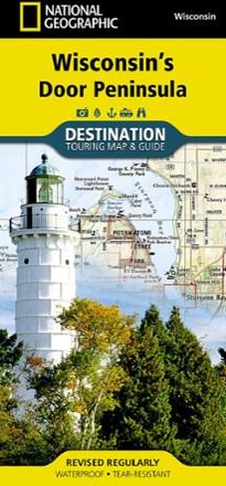


Wisconsin's Door Peninsula Destination Map
Tech Specs
Specifications are maintained on Pack4Back GearDB (community edits and revision history). Values may differ from the manufacturer or your unit—verify before buying.
Description
Trails Illustrated Wisconsin's Door Peninsula Destination Map strikes a balance between travel map and guidebook—a great resource for touring this culturally and geographically unique region.
Features
- Contains detailed and useful travel information including comprehensive road networks, infrastructure and natural, historical and cultural places
- Stunning photography and valuable travel tips inspire travelers and help with pre-trip planning and on-the-ground adventures
- Printed in the USA on durable, lightweight, waterproof and tear-resistant material that's designed to withstand the rigors of travel
- Folded dimensions: 4.25 x 9.25 in.; unfolded dimensions: 25.5 x 37.75 in.
- 1:129,660 scale
- National Geographic Maps; copyright 2013