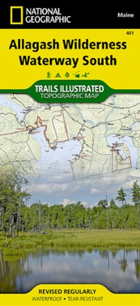
Allagash Wilderness Waterway South Map
National GeographicWhen paddling the Northern Forest Canoe Trail, camping in the North Maine Woods or driving the Maine Scenic Byway, the Trails Illustrated Allagash Wilderness Waterway South map is invaluable.
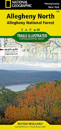
Allegheny North Trail Map - Allegheny National Forest
National GeographicThe National Geographic Trails Illustrated Allegheny North trail map offers clear, detailed coverage of the northern part of the Allegheny National Forest in Pennsylvania and New York.

Allegheny South: Allegheny National Forest Topographic Map
National GeographicThis National Geographic Trails Illustrated Allegheny South trail map offers clear, detailed coverage of the south part of the Allegheny National Forest in Pennsylvania.
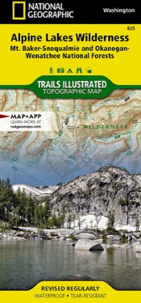
Alpine Lakes Wilderness Topographic Map
National GeographicOutdoor enthusiasts looking to explore of the Central Cascades will find the Trails Illustrated Alpine Lakes Wilderness Topographic Map an indispensable tool.

Alps Adventure Travel Map
National GeographicAn invaluable tool for travelers, the National Geographic Alps Adventure travel map helps you explore the iconic mountain range that stretches across 8 European countries.

Angeles National Forest Topographic Map
National GeographicThe Trails Illustrated Angeles National Forest Topographic map provides unmatched detail and valuable information for outdoor enthusiasts enjoying this diverse recreational area north of Los Angeles.

Apache Creek / Juniper Mesa Topographic Map
National GeographicOutdoor enthusiasts adventuring through the northern half of Prescott National Forest will find the Trails Illustrated Apache Creek / Juniper Mesa topographic map an essential travel companion.
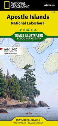
Apostle Islands Topographic Map
National GeographicThe Trails Illustrated Apostle Islands topographic map offers clear, concise info to help you savor this area's unique combination of cultural resources, natural beauty and historical significance.

Appalachian Trail Map Pack: Georgia, North Carolina and Tennessee
National GeographicThis Appalachian Trail map pack covers Georgia, North Carolina and Tennessee, tracing the trail from its southern terminus at Springer Mountain to Damascus on the Tennessee/Virginia state line.

Appalachian Trail Map Pack: Maine
National GeographicThis Appalachian Trail map pack covers the entirety of the trail in Maine, which offers some of the most challenging sections of the AT, both in terms of rugged terrain and weather conditions.

Appalachian Trail Map Pack: New Jersey, New York, Connecticut, Massachusetts
National GeographicThis Appalachian Trail map pack covers New Jersey, New York, Connecticut and Massachusetts, following the trail from the Pennsylvania border in the south to the Vermont state line in the north.
North America MapsNew England and Mid Atlantic Maps - DEPRECATED

Appalachian Trail Map Pack: Pennsylvania
National GeographicThe Appalachian Trail (AT) map pack for Pennsylvania covers the entire AT in the Keystone State. These maps follow the ridges of the Appalachian Mountains as the trail weaves in and out of suburbia.
North America MapsNew England and Mid Atlantic Maps - DEPRECATED

Appalachian Trail Map Pack: Vermont and New Hampshire
National GeographicThis Appalachian Trail map pack covers Vermont and New Hampshire—adjacent states with distinctly different landscapes ranging from wooded, rolling terrain to rugged and rocky high country.
North America MapsNew England and Mid Atlantic Maps - DEPRECATED

Appalachian Trail Map Pack: Virginia, West Virginia, Maryland
National GeographicThis Appalachian Trail map pack covers Virginia, West Virginia and Maryland, from the Tennessee/Virginia state line to the southern border of Pennsylvania.
North America MapsNew England and Mid Atlantic Maps - DEPRECATED