Filters
No categories available
No brands available
Washington And Oregon Maps
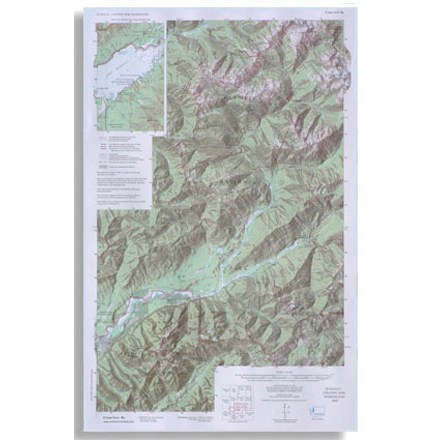
Quinault Colonel Bob - 4th Edition
Custom CorrectOlympic National Park topographic map scale 1:62 500

Red Buttes Wilderness Map
Siskiyou Mountain ClubPrinted on high-quality, waterproof and tear-resistant paper, this Red Buttes Wilderness map from Siskiyou Mountain Club offers comprehensive coverage and plenty of detail to find your way.
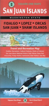
San Juan Islands Travel And Recreation Map
Square One MapsWhether you're hoping to spot an orca from the shoreline, or meandering through one of many incredible parks, the San Juan Islands map guides you to the bounty of scenic wonder just a ferry ride away.

Sky Lakes Wilderness North Map
Siskiyou Mountain ClubPrinted on high-quality, waterproof and tear-resistant paper, the Sky Lakes Wilderness Area North map from Siskiyou Mountain Club offers comprehensive coverage and plenty of detail to find your way.
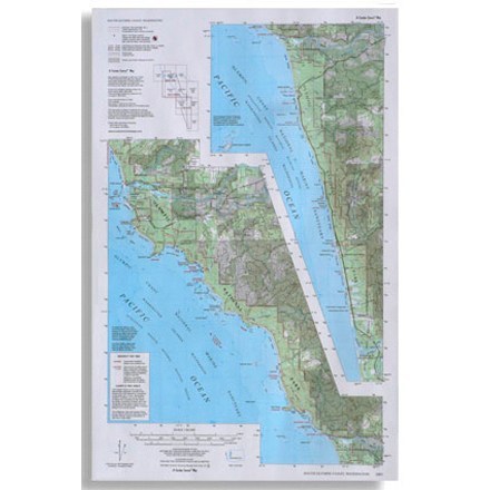
South Olympic Coast Map
Custom CorrectCompiled and rescribed from USGS base maps, this map shows trails along the south Olympic coast of Washington
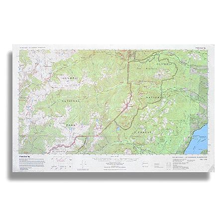
The Brothers - Mt. Anderson Map
Custom CorrectTopographic trail map of The Brothers Wilderness and the adjacent part of Olympic National Park west to Mt. Anderson and O'Neil Pass

Three Sisters Wilderness Trail Map
Adventure MapsThe Three Sisters Wilderness is a high desert wonderland renowned for its volcanic beauty. This Adventure Maps map is your navigational link to 20 scenic trails for exploring and taking it all in.
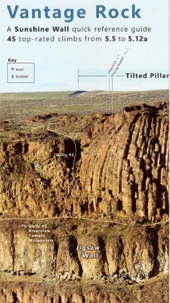
Vantage Rock: A Sunshine Wall Quick-Reference Guide
Composed from several telephoto images taken from across Echo Basin on November 2016, Vantage Rock: A Sunshine Wall Quick-Reference Guide offers a panoramic view of the wall and its climbing routes.
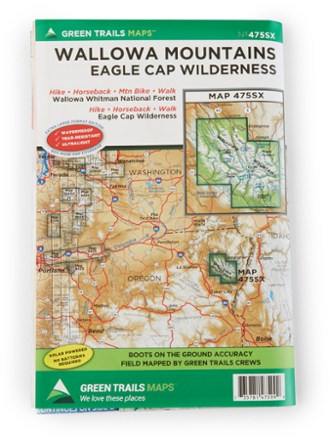
Wallowa Mountains and the Eagle Cap Wilderness Map
Green TrailsFollow the Green Trails Wallowa Mountains and the Eagle Cap Wilderness Map to stunning alpine peaks, lush forests, Native American history and historic frontier towns in northeastern Oregon.
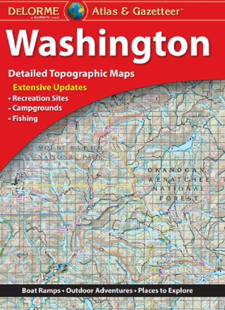
Washington Atlas and Gazetteer
DeLormeFrom the summit of Mount Rainier to the west coast of the Olympic Peninsula, the DeLorme Washington Atlas and Gazetteer covers the entire Evergreen state in fine detail.
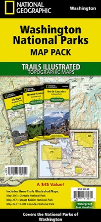
Washington National Parks Topographic Map Pack
National GeographicThe Trails Illustrated Washington National Parks topographic map pack shows you the way to the diverse beauty found in Washington's national parks: Mt. Rainier, Olympic and North Cascades.
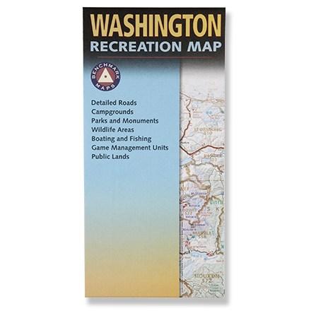
Washington Recreation Map - Folded
Benchmark MapsPlan your next adventure in Washington with this handy recreation map!

Washington Road & Recreation Atlas - 9th Edition
Benchmark MapsExplore Washington's lush beauty with the Benchmark Maps Washington Road & Recreation Atlas. It's full of vivid, shaded-relief landscape maps and recreational details for making most out of your trip.
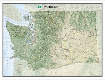
Washington Wall Map - Tubed
National GeographicThe tubed National Geographic Washington wall map offers a dramatic visualization of the Evergreen State's physical geography. Stunning shaded relief depicts mountains and ocean depths.