Filters
No categories available
No brands available
Washington And Oregon Maps
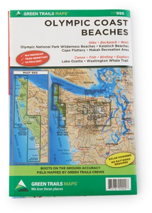
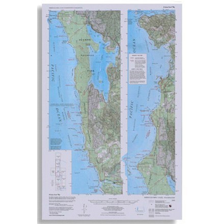
Map 99S - Olympic Coast Beaches
Green TrailsWith boots-on-the-ground accuracy, the Green Trails Olympic Coast Beaches map covers Olympic National Park wilderness beaches, Kalaloch, Washington Whale Trail, Lake Ozette, Makah and Cape Flattery.
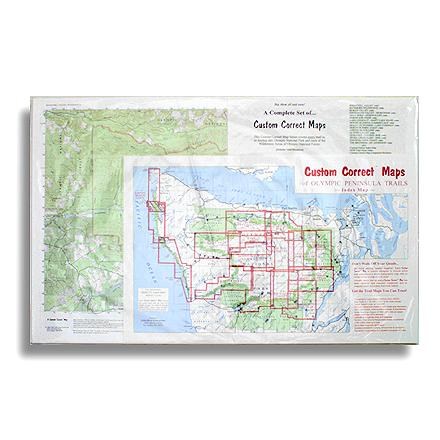
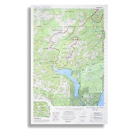
Map Set - Olympic Pennisula
Custom CorrectCustom topographic map, set to the trails of Olympic National Park and the Olympic Peninsula--specially formatted for hikers and climbers

Mount Baker and Boulder River Wilderness Areas Topographic Map
National GeographicThe Trails Illustrated Mount Baker and Boulder River Wilderness Areas topographic map helps you enjoy the limitless recreational opportunities in the western Cascades of northern Washington.
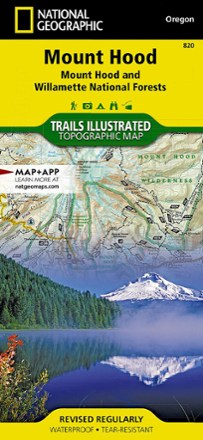
Mount Hood Topographic Map
National GeographicThe Trails Illustrated Mount Hood topographic map was expertly researched in partnership with the U.S. Forest Service and others to offer unparalleled detail for exploring this alpine jewel of Oregon.
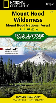
Mount Hood Wilderness Topographic Map
National GeographicThe detailed Trails Illustrated Mount Hood Wilderness topographic map showcases the snowcapped Oregon icon of Mt. Hood—a premier destination for outdoor enthusiasts.
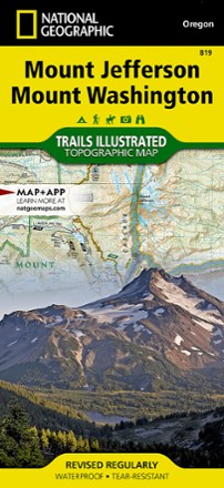
Mount Jefferson and Mount Washington Topographic Map
National GeographicThe Trails Illustrated Mount Jefferson and Mount Washington topographic map combines unmatched detail with helpful info for making the most of your visit to the High Cascades.
North America MapsNew England and Mid Atlantic Maps - DEPRECATED

Mount Jefferson, Bull of the Woods & Opal Creek Wilderness Trail Map
Adventure MapsFeaturing descriptions to 27 hikes, Adventure Maps Mount Jefferson map is your navigational link to the area's incredible volcanic landscapes, old-growth forests and pristine lakes.
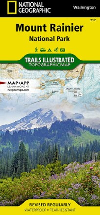
Mount Rainier National Park Trail Map
National GeographicThis colorful Trails Illustrated folded map offers detailed coverage of Mount Rainier National Park in Washington State.
Mount Skokomish - Lake Cushman Map
Custom CorrectTopographic trail map of Mount Skokomish Wilderness, North and South Skokomish River trails, and the Lake Cushman Area
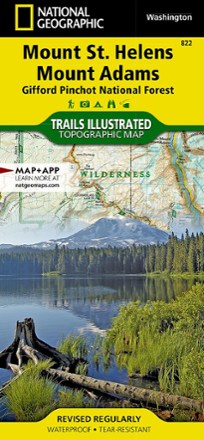
Mount St. Helens and Mount Adams Topographic Map
National GeographicThis colorful Trails Illustrated Mount St. Helens and Mount Adams trail map from National Geographic offers detailed coverage of 2 of Washington's volcanoes and the Gifford Pinchot National Forest.
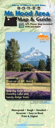
Mt. Hood Area Map & Guide
Adventure MapsEnjoy the old-growth trees, clear mountain streams and high-alpine views of Oregon's Mt. Hood area with this waterproof hiking map and guide from Adventure Maps.
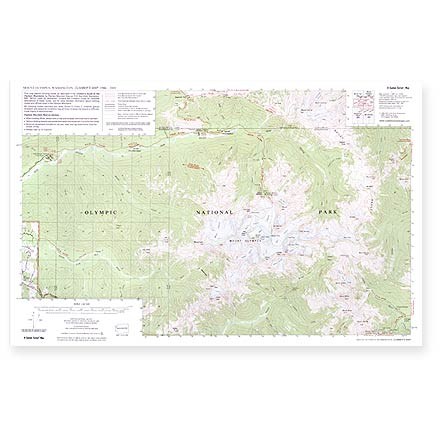
Mt. Olympus Climber'sTopo Map
Custom CorrectThis map depicts climbing routes as described in the Climber's Guide to the Olympic Mountains by Olympic Mountain Rescue.
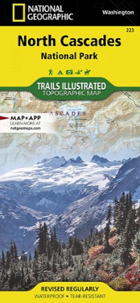
North Cascades National Park Trail Map
National GeographicThis Trails Illustrated folded map offers comprehensive coverage of North Cascades National Park in Washington.
North Olympic Coast Map
Custom CorrectTopographic map shows trails, beach routes and headland tides from La Push north to Cape Flattery