Filters
No categories available
No brands available
Washington And Oregon Maps Deprecated
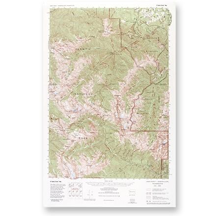
Gray Wolf - Dosewallips Map
Custom CorrectLarge-scale, topographic map of the Gray Wolf/Dosewallips area of Olympic National Park and Buckhorn Wilderness.

Hood River Oregon Trail Map
Adventure MapsThe Hood River area offers a wealth of recreational opportunities. Plan your adventure with this Adventure Maps Hood River Oregon topographic trail map and matching digital map for use on your phone.
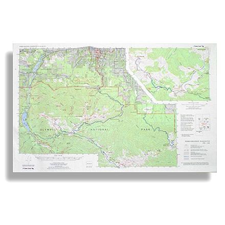
Hurricane Ridge Map
Custom CorrectRoute your trip from Lake Mills, Badger Valley, Blue Mountain to Lake Aldwell
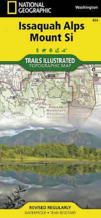
Issaquah Alps and Mount Si Map
National GeographicThe Trails Illustrated Issaquah Alps and Mount Si map offers comprehensive coverage of this easily accessible yet premier hiking destination just outside of Seattle in Western Washington.
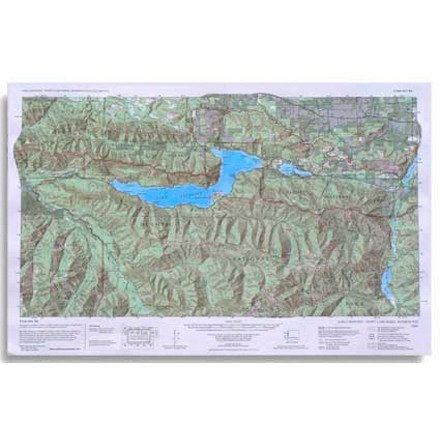
Lake Crescent, Happy Lake Ridge, Washingon Topo-Map
Custom CorrectA custom correct topographic map of the Lake Crescent, Happy Lake Ridge area of Olympic National Park in Washington State

Larabee State Park: Fragrance Lake Area Map
Square One MapsFind a place to hike, camp or mountain bike with the Larrabee State Park: Fragrance Lake Area map from Square One Maps, your guide to the most popular areas of Larrabee State Park.
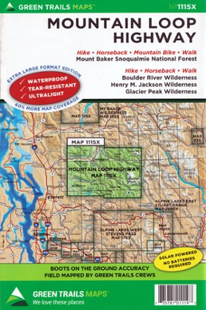
Map 111SX - Mountain Loop Highway
Green TrailsFilled with beautifully detailed topography, the Green Trails Mountain Loop Highway map (111SX) pulls you off the scenic road to explore the beautiful wilderness western Washington has to offer.

Map 133S - Seven Lakes Basin, Mount Olympus Climbing
Green TrailsTopographic recreation map details climbing routes, trails and backcountry camps for Mount Olympus and the Olympic National Park.

Map 134S - Hurricane Ridge - Elwha North
Green TrailsCovering an area close to Port Angeles, WA, the Green Trails Hurricane Ridge - Elwha North map (134S) fills you in on the trails, rivers and sights to explore with wonderfully detailed topography.
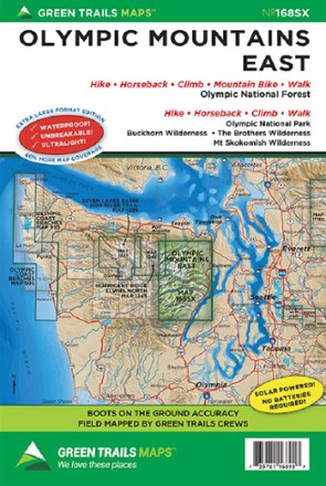
Map 168SX - Olympic Mountains East
Green TrailsWith 60% more coverage in rich topographic detail, the Green Trails Olympic Mountains East map (168SX) is your boots-on-the-ground guide to the wilderness of the east side of the Olympic Peninsula.

Map 203S - Cougar Mountain Squak Mountain
Green TrailsCaptured in beautiful topographic detail, the Green Trails Cougar Mountain Squak Mountain map (203S) is the gateway to the incredible parks and trails just a short drive from Seattle.
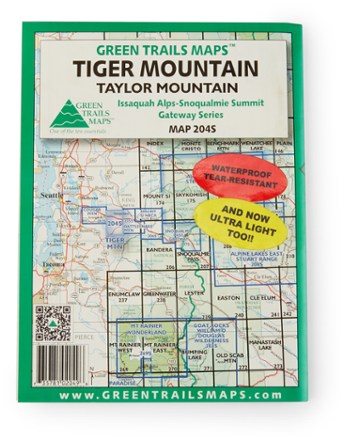
Map 204S - Tiger Mountain/Taylor Mountain
Green TrailsWith boots-on-the-ground accuracy and rich topographic detail, the Green Trails Tiger Mountain And Taylor Mountain map leads you to some of the best recreation within the Mountains to Sound Greenway.
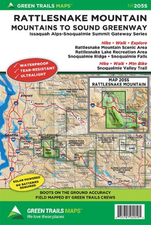
Map 205S - Rattlesnake Mountain
Green TrailsThere are many hiking options just a short drive from Seattle. Green Trails Rattlesnake Mountain map (205S) leads from Rattlesnake Mountain to the Snoqualmie Valley in beautifully detailed topography.
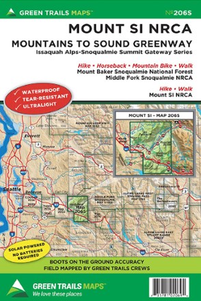
Map 206S - Mount Si NRCA
Green TrailsKnock out a classic Seattle-area hike and explore the surrounding trails with the Green Trails Mount Si NRCA map (206S). It's a beautifully detailed topographical guide that will take you to the top.