Filters
No categories available
No brands available
Southwest Maps

Sedona Topographic Map
Beartooth PublishingWaterproof, tear-resistant plastic topographic map includes three wilderness areas, four Arizona state parks and Oak Creek Canyon up to west fork.

Sedona Trails Map
If there's a trail to travel in the greater Sedona region, it's undoubtedly on the comprehensive Sedona Trails Map.
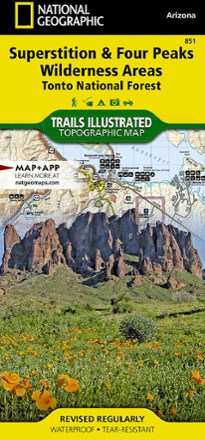
Superstition & Four Peaks Wilderness Areas Topographic Map
National GeographicExpertly researched in cooperation with the U.S. Forest Service and others, the Trails Illustrated Superstition & Four Peaks Wilderness Areas topographic map provides unmatched detail of this area.

Superstition Wilderness Map
Beartooth PublishingShowing the entire Superstition Wilderness at a detailed 50 ft. contour interval, this map from Beartooth Publishing is your guide to a hiker's and backpacker's paradise located just outside Phoenix.

Sycamore Canyon / Verde Valley Topographic Map
National GeographicCreated in partnership with the U.S. Forest Service, the Trails Illustrated Sycamore Canyon / Verde Valley topographic map is an essential for exploring this picturesque area in Northern Arizona.
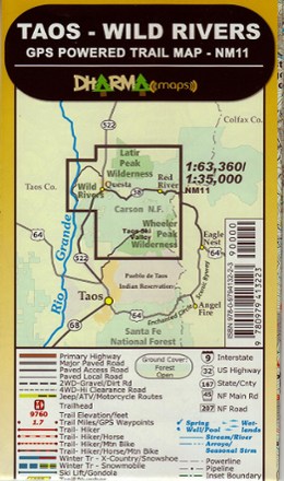
Taos - Wild Rivers Trail Map
Find your way along the trail with the GPS-precision of the Dharma Maps Taos–Wild Rivers trail map, a vivid shade-relief topographic map marked with all official trails and roads in the area.

Taos and Carson National Forest Map
National GeographicThis Trails Illustrated folded map is your essential guide for outdoor exploration in the Taos area of northern New Mexico.
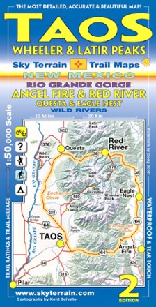
Taos, Wheeler and Latir Peaks Trail Map - 2nd Edition
Sky Terrain Trail MapsPocket-size and fully waterproof, the Sky Terrain Taos Wheeler and Latir Peaks Trail Map leads the way around New Mexico for all types of recreation with stunning accuracy and detail.
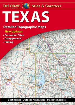
Texas Atlas and Gazetteer
DeLormeFrom the Gulf Coast to the Hill Country to the Panhandle Plains, the DeLorme Texas Atlas and Gazetteer provides detailed maps so you can discover and explore every corner of the Lone Star State.
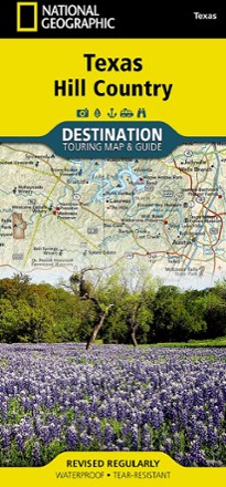
Texas Hill Country Destination Touring Map and Guide
National GeographicThe National Geographic Texas Hill Country Destination Touring map and guide strikes a balance between map and guidebook—perfect for touring this culturally and geographically unique region.
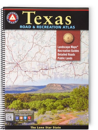
Texas Road & Recreation Atlas - 2nd Edition
Benchmark MapsConfidently explore the wide open spaces of the Lone Star State with the 2nd edition of the Texas Road & Recreation Atlas. The detailed maps are great for planning day outings or extended road trips.
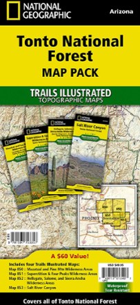
Tonto National Forest Topographic Map Pack
National GeographicThe Trails Illustrated Tonto National Forest Topographic Map Pack offers detailed coverage of almost 3 million acres of diverse terrain just outside of Phoenix, AZ.
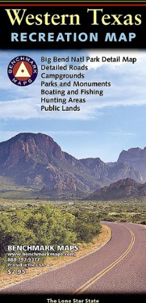
Western Texas Recreation Map
Benchmark MapsRevealing the richness of recreation potential in the Lone Star State, this Benchmark Maps Western Texas Recreation map is a must-have for traveling around the country's second largest state.