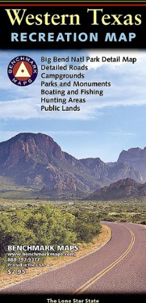


Western Texas Recreation Map
Tech Specs
Specifications are maintained on Pack4Back GearDB (community edits and revision history). Values may differ from the manufacturer or your unit—verify before buying.
BrandBenchmark Maps
Best UseTravel
State / ProvinceTexas
Folded Dimensions9 x 4.25 inches
Unfolded Dimensions38.25 x 27 inches
Map Scale1:1,013,760
Double SidedYes
PublisherBenchmark Maps
Copyright Year2020
Description
Revealing the richness of recreation potential in the Lone Star State, this Benchmark Maps Western Texas Recreation map is a must-have for traveling around the country's second largest state.
Features
- 1 side provides a Western Texas map featuring land cover (forest, grassland, cropland and wetland), extensive highway detail, point-to-point mileages and recreation sites
- Also provides Roadside America attractions, campgrounds, parks and wildlife areas, boating and fishing access points and public hunting areas
- This side also includes an area map of Big Bend National Park
- The reverse side features categorized recreation listings with helpful descriptions, current contact information and map grid references