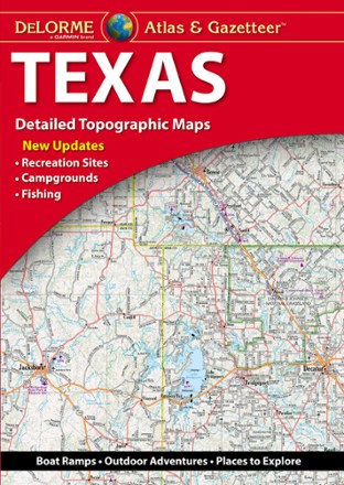
Texas Atlas and Gazetteer
Tech Specs
Specifications are maintained on Pack4Back GearDB (community edits and revision history). Values may differ from the manufacturer or your unit—verify before buying.
BrandDeLorme
Best UseTravel
State / ProvinceTexas
Folded Dimensions15.5 x 11 x 1 inches
Unfolded Dimensions15.5 x 22 x 1 inches
Map Scale1:260,000
Double SidedYes
WaterproofYes
PublisherGarmin
Copyright Year2021
Description
From the Gulf Coast to the Hill Country to the Panhandle Plains, the DeLorme Texas Atlas and Gazetteer provides detailed maps so you can discover and explore every corner of the Lone Star State.
Features
- Large-format paper maps are perfect for sightseeing, exploring back roads, outdoor recreation and trip planning
- Topographic maps include elevation contours, major highways and roads, dirt roads, trails, and land use data
- Gazetteer section contains points of interest, landmarks, state and national parks, campgrounds, boat launches, historic sites, canoe trips, scenic drives, and more
- While available information varies by state, DeLorme maps generally provide information essential for any outdoor enthusiast