Filters
No categories available
No brands available
Southwest Maps Deprecated
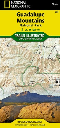
Guadalupe Mountains National Park Trail Map
National GeographicThis Trails Illustrated folded map offers comprehensive coverage of Guadalupe Mountains National Park in Texas.
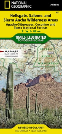
Hellsgate, Salome, & Sierra Ancha Wilderness Areas Topographic Map
National GeographicThe Trails Illustrated Hellsgate, Salome, & Sierra Ancha Wilderness Areas topographic map provides unmatched detail of the northeast region of Tonto National Forest.
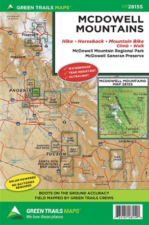
Map 2815S - McDowell Mountains
Green TrailsThe Green Trails McDowell Mountains map offers a beautifully detailed topographic guide to the Arizona's McDowell Sonoran Preserve and McDowell Mountain Regional Park.
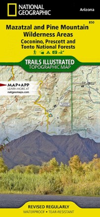
Mazatzal and Pine Mountain Wilderness Areas Topographic Map
National GeographicOutdoor enthusiasts looking for recreational opportunities just north of Phoenix will marvel at the Trails Illustrated Mazatzal and Pine Mountain Wilderness Areas topographic map.

Mogollon Rim/ Munds Mountain Topographic Map
National GeographicOutdoor enthusiasts seeking recreational opportunities in central Arizona will find the Trails Illustrated Mogollon Rim/ Munds Mountain topographic map an essential travel companion.
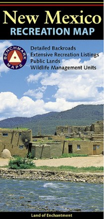
New Mexico Recreation Map
Benchmark MapsThe award-winning Benchmark Maps New Mexico recreation map helps you navigate the Land of Enchantment with generous page-to-page overlaps, GPS grids and easy-to-read symbols.
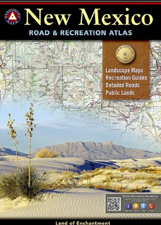
New Mexico Road & Recreation Atlas - 10th Edition
Benchmark MapsJump into the navigator's seat with the Benchmark Maps New Mexico Road and Recreation Atlas and explore the Land of Enchantment with vivid, shade-relief maps and all sorts of recreation to enjoy.
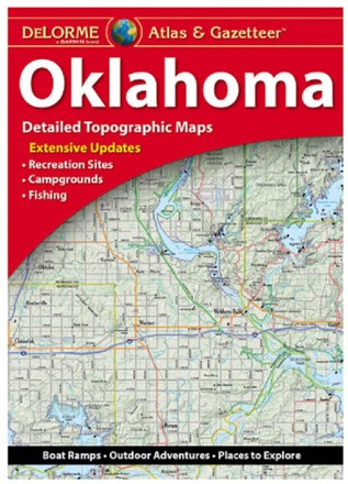
Oklahoma Atlas and Gazetteer
DeLormeSee all the cities and sites across the Sooner State with the DeLorme Oklahoma Atlas and Gazetteer, covering every inch of the 46th state in vivid detail.

Paria Canyon and Kanab Topographic Map
National GeographicThe Trails Illustrated Paria Canyon and Kanab topographic map leads the way to a colorful landscape of sandstone cliffs, slot canyons and winding waterways straddling the border of Arizona and Utah.

Saguaro National Park Map
National GeographicThis National Geographic Trails Illustrated folded map offers comprehensive coverage of Saguaro National Park in Arizona.
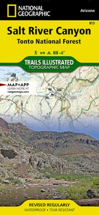
Salt River Canyon Topographic Map
National GeographicCreated in cooperation with the U.S.Forest Service and Bureau of Land Management, the Trails Illustrated Salt River Canyon Topographic Map is an essential companion for your outdoor adventures.
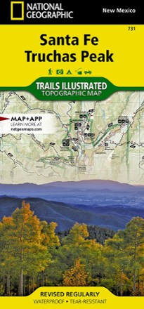
Santa Fe and Truchas Peak Topographic Map
National GeographicThe Trails Illustrated Santa Fe and Truchas Peak topographic map covers Santa Fe's wide range of public recreation lands with unparalleled detail.
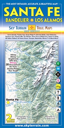
Santa Fe, Bandelier and Los Alamos Trail Map - 2nd Edition
Sky Terrain Trail MapsTrek your way through the vast open spaces, parks, forests and wilderness of New Mexico with the waterproof, pocket-size Sky Terrain Santa Fe Bandelier and Los Alamos Trail Map.

Sedona Topographic Map
Beartooth PublishingWaterproof, tear-resistant plastic topographic map includes three wilderness areas, four Arizona state parks and Oak Creek Canyon up to west fork.