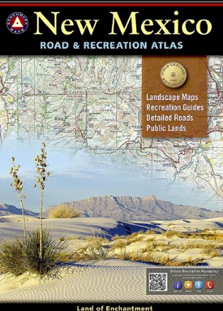
New Mexico Road & Recreation Atlas - 10th Edition
Tech Specs
Specifications are maintained on Pack4Back GearDB (community edits and revision history). Values may differ from the manufacturer or your unit—verify before buying.
BrandBenchmark Maps
Best UseTravel
Folded Dimensions15 x 11 x 0.5 inches
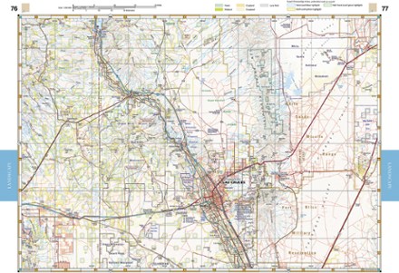
Map Scale1:285,000 & 1:1,000,000
Double SidedYes
PublisherBenchmark Maps
Copyright Year2020
State / ProvinceNew Mexico
Description
Jump into the navigator's seat with the Benchmark Maps New Mexico Road and Recreation Atlas and explore the Land of Enchantment with vivid, shade-relief maps and all sorts of recreation to enjoy.
Features
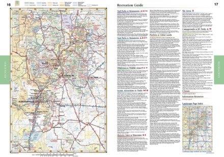
- Comprehensive recreation guide highlights parks, monuments, historic sites, campgrounds, RV parks and boat launches with an index to locate destinations quickly
- Atlas pages feature generous page-to-page overlaps, GPS grids and easy-to-read symbols, along with climate graphs for selected cities to choose the best time to visit
- Also includes essential recreation information and road classes for the entire state, as well as land-use classes
- Details on the maps include rest areas, exit numbers, point-to-point roadway mileages, campgrounds, RV parks, road surface, cities and elevations
- Metro-area maps of large cities are scaled to enhance detail and make navigation easier within the city
- Regional maps show mileages and mileage charts