Filters
No categories available
No brands available
Southeast Maps

Brasstown Bald / Chattooga River Topographic Map
National GeographicThe Trails Illustrated Brasstown Bald / Chattooga River topographic map delivers unmatched detail and valuable information to assist you in your exploration of this fascinating area of Georgia.

Buffalo National River West
National GeographicExplore the western side—including the upper section—of the wild Buffalo River in Arkansas with the Trails Illustrated Buffalo National River West map from National Geographic.
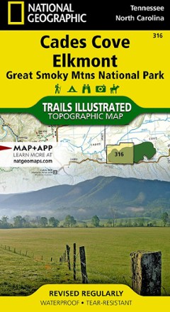
Cades Cove / Elkmont Topographic Map
National GeographicThe Trails Illustrated Cades Cove / Elkmont topographic map covers the western part of Great Smoky Mtns. National Park, from Sugarlands to Chilhowee Mountain and Lake.
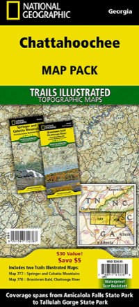
Chattahoochee Topographic Map Pack
National GeographicTrails Illustrated Chattahoochee topographic map pack offers 2 titles for Chattahoochee National Forest, covering the Appalachian Trail's south end and an abundance of recreational opportunities.

Chattooga River Map and Trail Guide
Pisgah Map CoWork your way all along the Chattooga Riber by foot or boat with the Chattooga River map and trail guide as your navigator through these tranquil, free-flowing waters in rugged South Carolina.
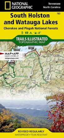
Cherokee and Pisgah National Forests - South Holston and Watauga Lakes Trail Map
National GeographicThis National Geographic Trails Illustrated folded map offers coverage of South Holston and Watauga Lakes in Tennessee and North Carolina.

Cherokee and Pisgah National Forests Topographic Map
National GeographicThe detailed Trails Illustrated Cherokee and Pisgah National Forests topographic map offers concise and colorful coverage of the French Broad and Nolichucky rivers in Tennessee and North Carolina.
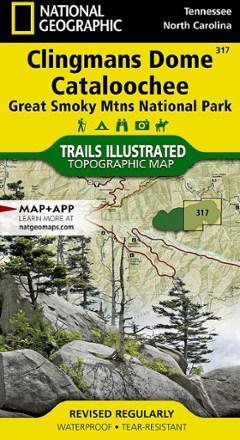
Clingmans Dome / Cataloochee Topographic Map
National GeographicThe Trails Illustrated Clingmans Dome / Cataloochee topographic map covers the eastern part of Great Smoky Mountains National park, from Sugarlands to Pisgah National Forest.

Collegiate Peaks Wilderness Area Topographic Map
National GeographicThe Trails Illustrated Collegiate Peaks Wilderness Area topographic map delivers incredible detail and valuable information to assist you in your exploration of this breathtaking wilderness.

Dolly Sods and Seneca Rocks Lizard Map - 2nd Edition
Purple Lizard MapsWhether you're hiking or mountain biking, the Purple Lizard Dolly Sods and Seneca Rocks map helps you cover a lot of ground on numerous trails through West Virginia's beautiful wilderness areas.

Dupont State Recreational Forest Map
Pisgah Map CoFeaturing popular waterfall hikes and 6 mountain biking routes, the easy-to-use Dupont State Recreational Forest map will help you hit the trail and explore Western North Carolina.
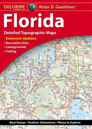
Florida Atlas & Gazetteer
DeLormeFrom the Everglades to the coast and everywhere between, the DeLorme Florida Atlas and Gazetteer shows you all the state has to offer for recreation and adventure when you're on the road.

Florida Keys Map
Franko's MapsLooking for a tropical getaway? A haven for fishers, boaters, snorkelers and watersports enthusiasts, the Florida Keys are a must-see. Explore the area with this Florida Keys map from Franko's Maps.
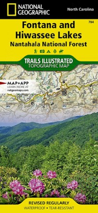
Fontana and Hiwassee Trail Map
National GeographicThis National Geographic Trails Illustrated folded map offers comprehensive coverage of the Fontana and Hiwasse Lakes area of North Carolina.