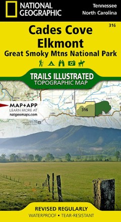
Cades Cove / Elkmont Topographic Map
Tech Specs
Specifications are maintained on Pack4Back GearDB (community edits and revision history). Values may differ from the manufacturer or your unit—verify before buying.
Description
The Trails Illustrated Cades Cove / Elkmont topographic map covers the western part of Great Smoky Mtns. National Park, from Sugarlands to Chilhowee Mountain and Lake.
Features
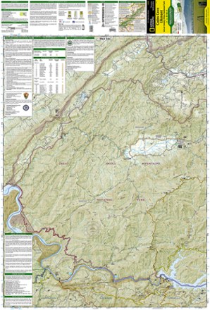
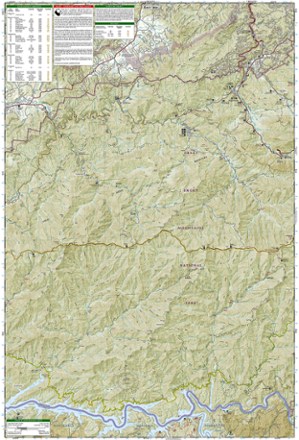
- Created in partnership with the National Park Service and others, this map combines detail of the region, area data and safety tips, including bear safety and contact info
- Features many key points of interest including Fontana Lake and Dam, Little Tennessee and Tuckasegee Rivers Cable Mill Historic Area and Abrams Creek
- Easy-to-read, yet highly detailed map shows comprehensive trail and road networks, along with designated trails for hiking, horseback riding, biking and more
- Clearly marked navigational aids with UTM coordinate grids, scale bar and full legend, essential for safely navigating the backcountry with GPS or compass
- Features key points of interest such as scenic views, campgrounds, trailheads, boat launches and picnic sites
- Color-coded boundaries for public lands including national parks, national forests, national monuments, ranger districts, wilderness areas, state parks and wildlife refuges
- 1:40,000 scale
- Printed in the USA on durable, lightweight, waterproof and tear-resistant material designed to withstand all weather conditions
- Folded dimensions: 4 x 7.5 in.; unfolded dimensions: 25.5 x 37.75 in.
- National Geographic Maps; copyright 2015