Paper Maps
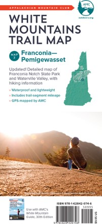
White Mountains Trail Map: Franconia - Pemigewasset
AMCFind your way through Franconia Notch State Park and Pemigewasset Wilderness Area of White Mountain National Forest with the completely waterproof AMC White Mountains trail map 2.
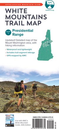
White Mountains Trail Map: Presidential Range
AMCBecause foul weather is bound for any route, the AMC White Mountains: Presidential Range trail map is completely waterproof to guide you across the summits of New Hampshire named after presidents.
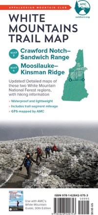
White Mountains Trail Maps: Carter Notch - Sandwich Range & Moosilauke - Kinsman Ridge
AMCFind your way through Crawford Notch, the Sandwich Range, and the Moosilauke and Kinsman Ridge regions of the White Mountains with the completely waterproof AMC White Mountains trail maps 3 and 4.
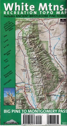
White Mountains, California, Recreation Map
Sierra MapsLess traveled than the Sierra Nevada, the White Mountains of California offer solitude and room to explore. Get out there with this White Mountains, California, recreation map from Sierra Maps.

Wild Rogue Wilderness Map
Siskiyou Mountain ClubPrinted on high-quality, waterproof and tear-resistant paper, the Wild Rogue Wilderness Area map from Siskiyou Mountain Club offers comprehensive coverage and plenty of detail to find your way.
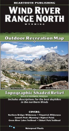
Wind River Range North Outdoor Recreation Map
Beartooth PublishingOne of the most famous mountain ranges in the United States, the Winds often defy reason with their beauty. Use this Beartooth Publishing Wind River Range North map to guide your Wyoming explorations.
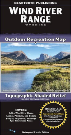
Wind River Range Outdoor Recreation Map
Beartooth PublishingOne of the most famous mountain ranges in the U.S., the Winds often defy reason with their beauty. Use this Beartooth Publishing Wind River Range recreation map to guide your explorations in Wyoming.
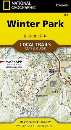
Winter Park Map - Local Trails
National GeographicIn Trails Illustrated Winter Park Map - Local Trails, discover a year-round adventure destination tucked into the high country of the Rockies with wild opportunities of all kinds for those who visit.
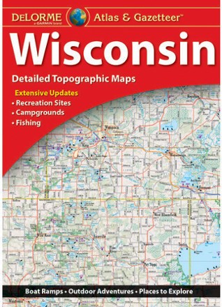
Wisconsin Atlas and Gazetteer
DeLormeFrom the shores of Lake Superior and Lake Michigan to the forests and bluffs of the Western Upland, the DeLorme Wisconsin Atlas and Gazetteer covers the entire Badger State in fine detail.
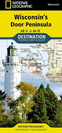
Wisconsin's Door Peninsula Destination Map
National GeographicTrails Illustrated Wisconsin's Door Peninsula Destination Map strikes a balance between travel map and guidebook—a great resource for touring this culturally and geographically unique region.
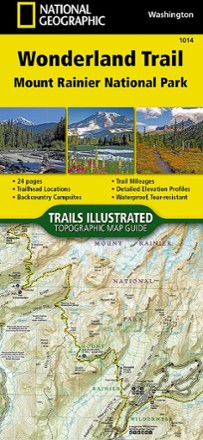
Wonderland Trail Topographic Map Guide
National GeographicNavigate the 22,000 cumulative feet of elevation gain/loss over undulating terrain encircling Mount Rainier with the detailed help of this National Geographic Wonderland Trail topographic map guide.
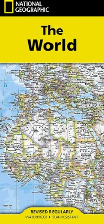
World Map - Folded
National GeographicSetting the standard by which all other reference maps are measured, the folded National Geographic World Map is meticulously researched and uses a bright, easy-to-read color palette.
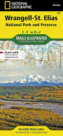
Wrangell-St. Elias National Park & Preserve Topographic Map
National GeographicExplore the wild and vast backcountry of the United States' largest national park with this detailed National Geographic Wrangell-St. Elias National Park & Preserve topographic map as your guide.
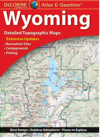
Wyoming Atlas and Gazetteer
DeLormeWhen more than half the state is public land, you know there's a ton to explore. The DeLorme Wyoming Atlas and Gazetteer covers the entire Equality State in fine detail.