Wind River Range North Outdoor Recreation Map
Tech Specs
Specifications are maintained on Pack4Back GearDB (community edits and revision history). Values may differ from the manufacturer or your unit—verify before buying.
BrandBeartooth Publishing
Best UseHiking
State / ProvinceWyoming
Folded Dimensions8 x 4.2 inches
Unfolded Dimensions39.2 x 25.2 inches
Map Scale1:60,000
WaterproofYes
PublisherBeartooth Publishing
Copyright Year2020
Description
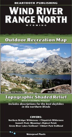
One of the most famous mountain ranges in the United States, the Winds often defy reason with their beauty. Use this Beartooth Publishing Wind River Range North map to guide your Wyoming explorations.
Features
- Map covers from the Trail Lake Road just south of Dubois to the highway junction at Boulder
- Includes descriptions for 5 of the best day hikes in the northern Winds
- Map's detail shows every little lake, creek and wetland
- All recreation access roads leaving Pinedale are clearly noted
- This map was completely remade in 2020; the new edition includes new trail data, more recreation sites and new cartographic art styles