Filters
No categories available
No brands available
Paper Maps

Merced & Tuolumne Rivers Topographic Map
National GeographicThe Trails Illustrated Merced & Tuolumne Rivers topographic map is an essential travel companion for outdoor enthusiasts exploring this area just west of Yosemite National Park.
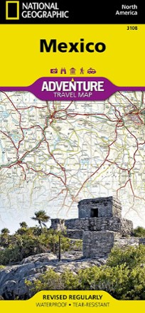
Mexico Adventure Travel Map
National GeographicDesigned with travelers in mind, the National Geographic Mexico Adventure Map is an excellent guide to Mexico's rich cultural history, national parks and archeological sites.
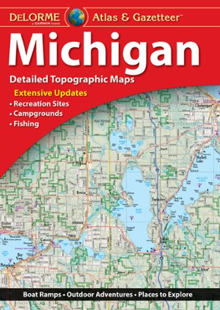
Michigan Atlas and Gazetteer
DeLormeA great companion for outdoor recreation and trip planning, the DeLorme Michigan Atlas and Gazetteer covers all of the Wolverine State in fine detail, whether you're exploring the mitten or the UP.
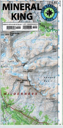
Mineral King Trail Map
Tom Harrison CartographyPlan your next adventure with the Tom Harrison Cartography Mineral King Trail Map, and discover this stunning subalpine glacial valley in the southern part of California's Sequoia National Park.
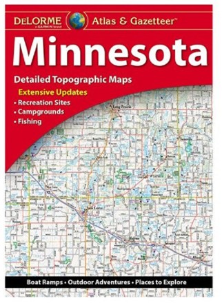
Minnesota Atlas & Gazetteer
DeLormeExperience the land of 10,000 lakes with the DeLorme Minnesota Atlas and Gazetteer in the navigator's seat, and see how much recreation the Gopher State has to offer for all outdoors lovers.

Mississippi Atlas and Gazetteer
DeLormeFrom its namesake river in the west to the Tombigbee and Pascagoula Rivers in the east—and everything between—the DeLorme Mississippi Atlas and Gazetteer covers the Magnolia State in fine detail.
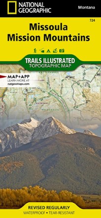
Missoula / Mission Mountains Topographic Map
National GeographicLooking to enjoy the abundant recreational lands in the mountains of western Montana? You'll find the Trails Illustrated Missoula / Mission Mountains topographic map an essential travel companion.
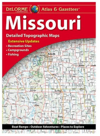
Missouri Atlas & Gazetteer
DeLormeShowing you the way to an abundance of outdoor recreation all across the Show-Me State, the DeLorme Missouri Atlas and Gazetteer is the best companion to your next road trip.
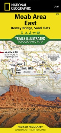
Moab Area East - Dewey Bridge, Sand Flats Map
National GeographicWhether you're going camping, hiking, mountain biking or rafting, the National Geographic Trails Illustrated Moab Area East - Dewey Bridge, Sand Flats map can help you navigate the area like a pro.
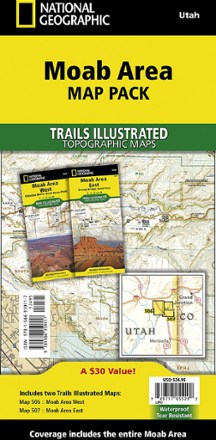
Moab Area Map Pack
National GeographicPlanning your next Moab adventure? Whether you're going camping, hiking, mountain biking or rafting, the National Geographic Trails Illustrated Moab Area map pack can help with your logistics.
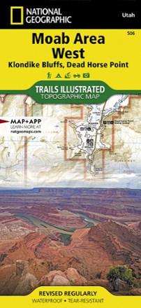
Moab Area West - Klondike Bluffs, Dead Horse Point Map
National GeographicWhether you're going camping, mountain biking, hiking or rafting, the National Geographic Trails Illustrated Moab Area West - Klondike Bluffs, Dead Horse Point map can help you navigate like a pro.
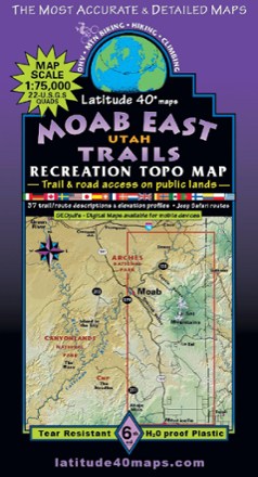
Moab East Utah Trails Map - 6th Edition
Latitude 40 MapsExplore the trails and roads of Moab East with the Latitude 40 Moab East Utah Trails Map, a full-color, waterproof topographic map leading you across an incredible stretch of eastern Utah.

Mogollon Rim/ Munds Mountain Topographic Map
National GeographicOutdoor enthusiasts seeking recreational opportunities in central Arizona will find the Trails Illustrated Mogollon Rim/ Munds Mountain topographic map an essential travel companion.

Mojave National Preserve Trail Map
National GeographicThis detailed Trails Illustrated folded map offers comprehensive coverage of California's Mojave National Preserve.