Filters
No categories available
No brands available
North America Maps
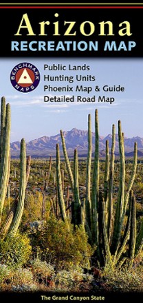
Arizona Recreation Map
Benchmark MapsThe Benchmark Maps Arizona Recreation Map guides you through the wonders of the Grand Canyon State with an award-winning design, generous page-to-page overlaps, GPS grids and easy-to-read symbols.
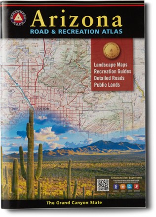
Arizona Road & Recreation Atlas - 12th Edition
Benchmark MapsThe Grand Canyon State abounds in natural beauty and outdoor possibilities. Discover it all with this Arizona Road & Recreation atlas from Benchmark Maps.
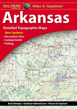
Arkansas Atlas and Gazetteer
DeLormeWhether you're looking for the scenic route or want to discover a new spot to explore, the DeLorme Arkansas Atlas and Gazetteer will be your go-to guide for planning trips around the Natural State.
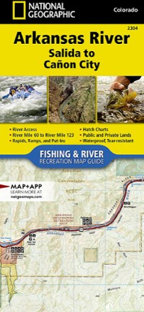
Arkansas River: Salida to Canon City Fishing and River Recreation Map Guide
National GeographicShowing every turn and rapid, the National Geographic Arkansas River: Salida to Canon City Fishing and River recreation map guide is the ideal resource for enjoying the Arkansas River in Colorado.
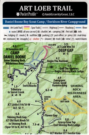
Art Loeb Trail Elevation Profile map
AntiGravityGearWeighing just 4 g, the pocket-size Art Loeb Trail Elevation Profile map from AntiGravityGear is loaded with all at-a-glance information you need for hiking all 30.1 miles of this North Carolina trail.
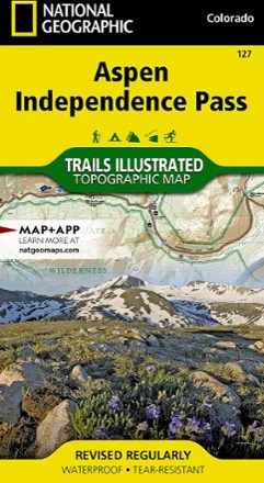
Aspen / Independence Pass Topographic Map
National GeographicThe Trails Illustrated Aspen / Independence Pass topographic map offers clear, detailed coverage of Aspen and Independence Pass in Colorado.

Aspen Local Trails Map & Guide
National GeographicWhere do the locals go when they want to take a short hike with the family or to push themselves with a heart-pounding trip? The National Geographic Aspen Local Trails map answers this question.

Aspen, Crested Butte and Maroon Bells Trail Map
Sky Terrain Trail MapsDiscover myriad opportunities for outdoor recreation with the Sky Terrain Trail Maps Aspen, Crested Butte and Maroon Bells trail map, which covers an area filled with 14ers, ghost towns and more.
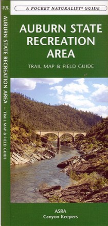
Auburn State Recreation Area Trail Map & Field Guide
Discover California's American River basin, a dream location for outdoor enthusiasts, with the Auburn State Recreation Area trail map and field guide.
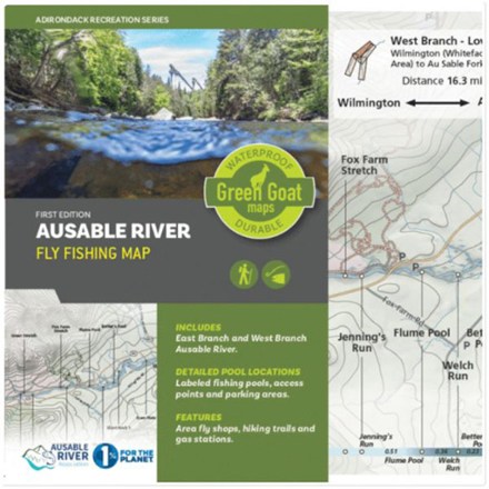
Ausable River Fly Fishing Map
Green Goat MapsDetailing the east and west branches of the Ausable River in New York's Adirondack Park, Green Goat Maps Ausable River Fly Fishing map was made for anglers, paddlers and river enthusiasts of all kind.

Backcountry Ski Map: Berthoud Pass, Colorado
Beacon GuidebooksFeaturing big faces and mellow glades from Pumphouse Basin to First Creek in beautiful detail, Backcountry Ski Map: Berthoud Pass, Colorado is a pack-friendly must-have for touring.
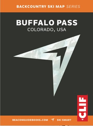
Backcountry Ski Map: Buffalo Pass, Colorado
Beacon GuidebooksSpanning mellow glades and technical lines from Dry Lake to Buff Mountain, Backcountry Ski Map: Buffalo Pass, Colorado features over 100 possible routes to make your descent.
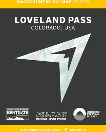
Backcountry Ski Map: Loveland Pass, Colorado
Beacon GuidebooksDetailing crazy couloirs, hidden powder stashes and mellow glades from Watrous Gulch to Porcupine Peak, the large-scale Backcountry Ski Map: Loveland Pass, Colorado is a must-have touring companion.

Backcountry Ski Map: Olympic National Park
Beacon GuidebooksFrom entry-level day tours to bucket list adventures, the Backcountry Ski Map: Olympic National Park brings you details on runs, skin tracks, slope angles, ATES rating, parking, trailheads and more.