Filters
No categories available
No brands available
North America Maps
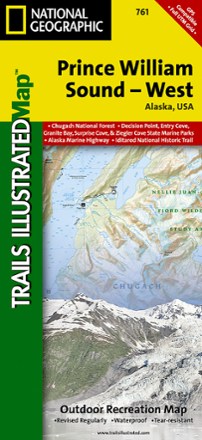
Prince William Sound - West Map
National GeographicThis Trails Illustrated folded map is your essential guide for outdoor exploration in the west region of Alaska's Prince William Sound.
Quinault Colonel Bob - 4th Edition
Custom CorrectOlympic National Park topographic map scale 1:62 500

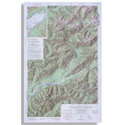
Rand Stillwater Pass Topographic Map
National GeographicThe detailed Trails Illustrated Rand Stillwater Pass topographic map is perfect for outdoor enthusiasts exploring this pristine mountainous area just outside of Rocky Mountain National Park.

Rattlesnake Wilderness and Missoula Outdoor Recreation Map
Cairn CartographicsCovering the Rattlesnake Wilderness and prime recreation areas around Missoula, Montana, this Cairn Cartographics map features trail locations and mileages GPS-verified in the summer and fall of 2011.

Raystown Lake Pennsylvania
Purple Lizard MapsBring along the rip-resistant, waterproof, topographic Purple Lizard Maps Raystown map to help you plan all your adventures on and around Raystown Lake in Pennsylvania.

Red Buttes Wilderness Map
Siskiyou Mountain ClubPrinted on high-quality, waterproof and tear-resistant paper, this Red Buttes Wilderness map from Siskiyou Mountain Club offers comprehensive coverage and plenty of detail to find your way.

Red Feather Lakes / Glendevey Topographic Map
National GeographicThe Trails Illustrated Red Feather Lakes / Glendevey topographic map provides unmatched detail of this mountainous area in north central Colorado.

Red Rock Canyon Adventure Guide
Franko's MapsLocated just 17 miles from the Las Vegas Strip, Red Rock Canyon offers miles of scenic roads and trails and world-class rock climbing. Explore with Franko's Maps Red Rock Canyon Adventure Guide.
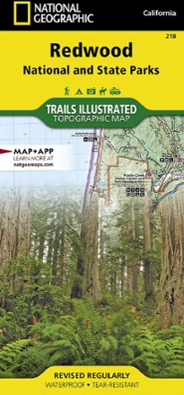
Redwood National Park Trail Map
National GeographicThis National Geographic Trails Illustrated folded map offers comprehensive coverage of California's Redwood National Park.
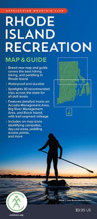
Rhode Island Recreation Map & Guide
AMCThough small in area, Rhode Island is packed with plenty of recreation to enjoy, and the AMC Rhode Island Recreation map and guide is your resource to the best hiking, cycling and paddling around.
North America MapsNew England and Mid Atlantic Maps - DEPRECATED
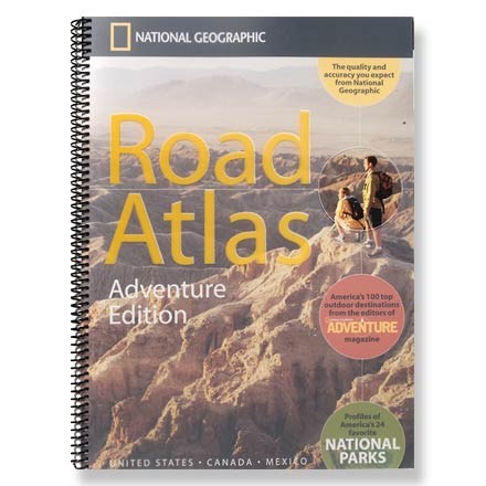
Road Atlas - Adventure Edition
National GeographicThe National Geographic Road Atlas Adventure Edition details 100 top outdoor destinations as selected by the editors of National Geographic Adventure Magazine.
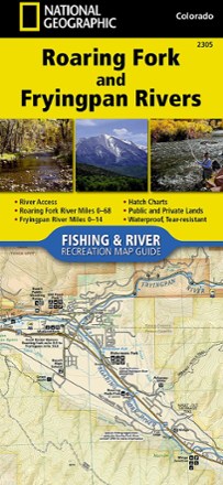
Roaring Fork and Fryingpan Rivers Fishing and River Recreation Map Guide
National GeographicThe National Geographic Roaring Fork and Fryingpan Rivers Fishing and River Recreational Map Guide is the perfect companion to anyone angling or recreating on either of these iconic Colorado rivers.
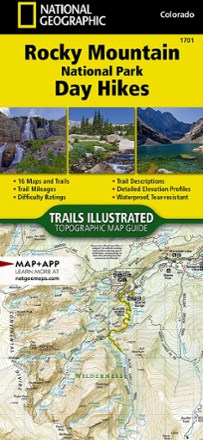
Rocky Mountain National Park Day Hikes Map
National GeographicDurably made from waterproof and tear-resistant material, Trails Illustrated Rocky Mountain National Park Day Hikes map features 16 diverse hiking routes to explore in rich, topographic detail.
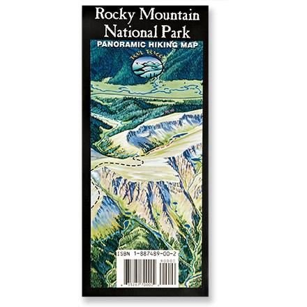
Rocky Mountain National Park Map
Trail TracksA trail map for the rest of us! Trail Tracks panoramic hiking trail map of Rocky Mountain National Park shows a trail's difficulty with color-coding.