Filters
No categories available
No brands available
North America Maps

Pacific Crest Trail Topographic Map Guide: Klamath Mountains
National GeographicFrom Siskiyou Summit to Castle Crags, this Trails Illustrated Pacific Crest Trail topographic map guide covers the wildflower-dotted meadows and conifer forests of the Klamath Mountains.
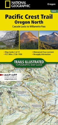
Pacific Crest Trail Topographic Map Guide: Oregon North
National GeographicEasier to read than folded paper maps but just as light and convenient, this Topographic Map from National Geographic follows the Oregon North portion of the Pacific Crest Trail.

Pacific Crest Trail Topographic Map Guide: Oregon South
National GeographicConvenient and lightweight, plus easier to read than folded paper maps, this Topographic Map from National Geographic follows the Oregon South portion of the Pacific Crest Trail.
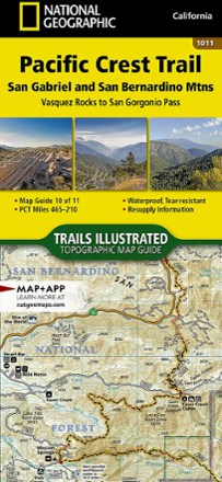
Pacific Crest Trail Topographic Map Guide: San Gabriel and San Bernardino Mountains
National GeographicFrom Vasquez Rocks to San Gorgonio Pass, this Trails Illustrated Pacific Crest Trail topographic map guide covers the scrublands and dry pine forests of the San Gabriel and San Bernardino mountains.
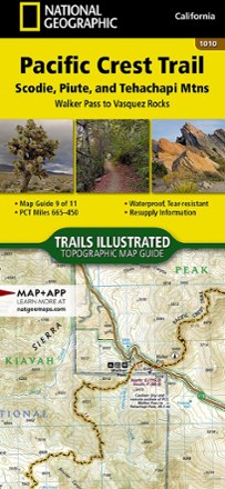
Pacific Crest Trail Topographic Map Guide: Scodie, Piute, and Tehachapi Mountains
National GeographicFrom Walker Pass to Vasquez Rocks, this Trails Illustrated Pacific Crest Trail topographic map guide covers the PCT through the southern reaches of the Sierra Nevada and into the Tehachapi Mountains.

Pacific Crest Trail Topographic Map Guide: Sierra Nevada North
National GeographicFrom Sierra Buttes to Devils Postpile, this Trails Illustrated Pacific Crest Trail topographic map guide covers the subalpine forests and volcanic rock formations of the northern Sierra Nevada.
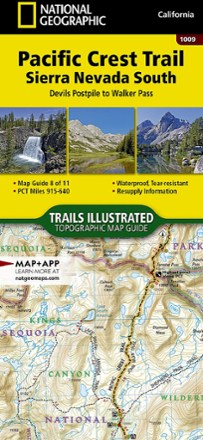
Pacific Crest Trail Topographic Map Guide: Sierra Nevada South
National GeographicFrom Devils Postpile to Walker Pass, this Trails Illustrated Pacific Crest Trail topographic map guide covers the forests, meadows and dry mountain ridges of the southern Sierra Nevada.
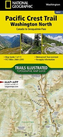
Pacific Crest Trail Topographic Map Guide: Washington North
National GeographicAs convenient and lightweight as folded paper maps but easier to read, this Topographic Map from National Geographic follows the Washington North portion of the Pacific Crest Trail.

Pacific Crest Trail Topographic Map Guide: Washington South
National GeographicLightweight, convenient and easier to read than folded paper maps, this Topographic Map from National Geographic follows the Washington South portion of the Pacific Crest Trail.
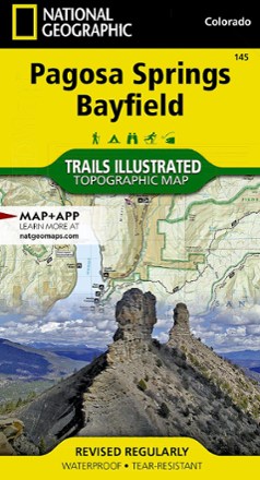
Pagosa Springs and Bayfield Area Trail Map
National GeographicThis Trails Illustrated folded map offers comprehensive coverage of Pagosa Springs and Bayfield in Colorado.
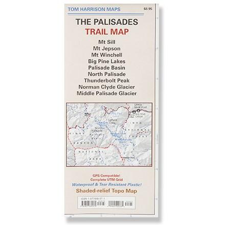
Palisades Trail Map
Tom Harrison CartographyPrinted on waterproof plastic for durability, this is a complete shaded-relief topographic map of the trails of the Palisades area.
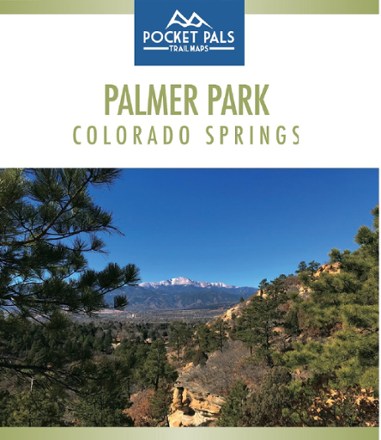
Palmer Park, Colorado Springs Trail Map
Pocket Pals Trail MapsThe largest park in the Springs, Palmer Park is a perfect place to get deep into nature while still being in the middle of a city. Explore it with this Pocket Pals Palmer Park, Colorado Springs map.

Paria Canyon and Kanab Topographic Map
National GeographicThe Trails Illustrated Paria Canyon and Kanab topographic map leads the way to a colorful landscape of sandstone cliffs, slot canyons and winding waterways straddling the border of Arizona and Utah.
Paunsaugunt Plateau, Mount Dutton & Bryce Canyon Topographic Map
National GeographicFrom Black Butte to Pink Cliffs, journey through southern Utah's dramatic scenery with the National Geographic Paunsaugunt Plateau, Mount Dutton & Bryce Canyon topographic map as your guide.