Filters
No categories available
No brands available
North America Maps
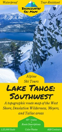
Lake Tahoe: Southwest and West Shore Backcountry Ski Map
Set fresh tracks with the Lake Tahoe: Southwest Backcountry Ski Map as your guide to over 60 routes in Tahoe's Southwest backcountry and the area's best descents and thrill-seeking experiences.
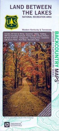
Land Between The Lakes Recreation Map
Discover a vast national recreation area in Kentucky and Tennessee with the Land Between The Lakes recreation map. This GPS-compatible topo map is packed with information on myriad outdoor activities.

Larabee State Park: Fragrance Lake Area Map
Square One MapsFind a place to hike, camp or mountain bike with the Larrabee State Park: Fragrance Lake Area map from Square One Maps, your guide to the most popular areas of Larrabee State Park.
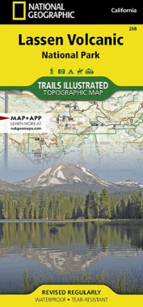
Lassen Volcanic National Park Topographic Map
National GeographicThe expertly researched Trails Illustrated Lassen Volcanic National Park topographic map is a valuable tool for exploring the park's fumaroles, hot springs, mud pots, mountain lakes and forests.
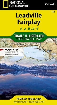
Leadville Fairplay Topographic Map
National GeographicThe Trails Illustrated Leadville Fairplay topographic map combines valuable information with unmatched detail of this popular destination for year-round recreation.

Lexington/Blue Ridge Mountains Trail Map
National GeographicThis colorful Trails Illustrated folded map offers detailed coverage of the Lexington and Blue Ridge Mountains areas in Virginia.
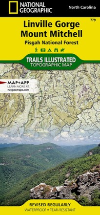
Linville Gorge / Mount Mitchell Topographic Map
National GeographicThe Trails Illustrated Linville Gorge / Mount Mitchell topographic map provides an unparalleled tool for exploring these remarkable features within Pisgah National Forest.
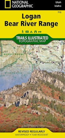
Logan / Bear River Range Topographic Map
National GeographicThe Trails Illustrated Logan / Bear River Range topographic map offers unparalleled detail for outdoor enthusiasts looking to explore this area of Colorado in any season.
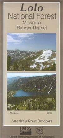
Lolo National Forest - Missoula Ranger District Map
Discover 40,000 acres of public lands ready for hiking, mountain biking, horseback riding and more in the Missoula Ranger District. Plan your outdoor adventure with this map of Lolo National Forest.
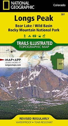
Longs Peak Trail Map
National GeographicThis National Geographic Trails Illustrated folded map offers comprehensive coverage of Longs Peak, Bear Lake and Wild Basin in Colorado.
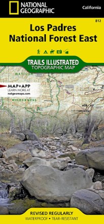
Los Padres National Forest East Trail Map
National GeographicThe National Geographic Los Padres National Forest East trail map leads you through amazing recreation opportunities in one of California's most diverse forests.

Los Padres National Forest West Map
National GeographicThe Trails Illustrated Los Padres National Forest West map guides you through diverse ecosystems and scenic wildlife habitats, from wild seacoasts to forests, grasslands and semi-desert areas.

Mad River Valley Trail Map
Map AdventuresPacked with up-to-date, researched trail information, the Map Adventures Mad River Valley trails map is your guide to hiking, biking and skiing in Vermont's Mad River Valley.
North America MapsNew England and Mid Atlantic Maps - DEPRECATED

Maine Atlas and Gazetteer - 2022 Edition
DeLormeA great companion for outdoor recreation and trip planning, the DeLorme Maine Atlas and Gazetteer covers the Pine Tree State in fine detail, from the rugged coastline to the densely forested interior.