Filters
No categories available
No brands available
New England And Mid Atlantic Maps Deprecated
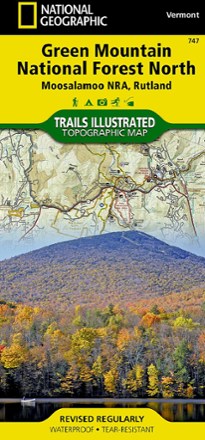
Green Mountain National Forest North Topographic Map
National GeographicThe Trails Illustrated Green Mountain National Forest North topographic map combines unmatched detail with helpful info to offer a valuable tool for making the most of your visit to this region.
North America MapsNew England and Mid Atlantic Maps - DEPRECATED
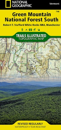
Green Mountain National Forest South Topographic Map
National GeographicThe Trails Illustrated Green Mountain National Forest South topographic map is the perfect travel companion for outdoor enthusiasts seeking to enjoy the 4-season recreation possibilities of the area.
North America MapsNew England and Mid Atlantic Maps - DEPRECATED
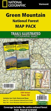
Green Mountain National Forest Topographic Map Pack
National GeographicThe Trails Illustrated Green Mountain National Forest topographic map pack is the perfect companion to anyone planning a trip to the stunning Green Mountains of Vermont.
North America MapsNew England and Mid Atlantic Maps - DEPRECATED

Harriman-Bear Mountain Trails 2-Map Set
New York New Jersey TrailPrinted in vibrant color, the waterproof and tear-resistant Harriman-Bear Mountain Trails 2-map set is a must-have for exploring the rich network of trails in Harriman and Bear Mountain state parks.
North America MapsNew England and Mid Atlantic Maps - DEPRECATED
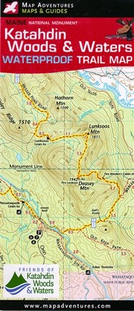
Katahdin Woods & Waters National Monument Waterproof Trail Map
Map AdventuresHike, bike, paddle and experience the history and culture of Maine's Northern Penobscot County with the Map Adventures Katahdin Woods & Waters National Monument waterproof trail map.
North America MapsNew England and Mid Atlantic Maps - DEPRECATED

Mad River Valley Trail Map
Map AdventuresPacked with up-to-date, researched trail information, the Map Adventures Mad River Valley trails map is your guide to hiking, biking and skiing in Vermont's Mad River Valley.
North America MapsNew England and Mid Atlantic Maps - DEPRECATED

Massachusetts Atlas and Gazetteer
DeLormeTake in the Bay State and venture beyond Boston with the DeLorme Massachusetts Atlas and Gazetteer, which covers the entire state in fine detail.
North America MapsNew England and Mid Atlantic Maps - DEPRECATED
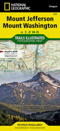
Mount Jefferson and Mount Washington Topographic Map
National GeographicThe Trails Illustrated Mount Jefferson and Mount Washington topographic map combines unmatched detail with helpful info for making the most of your visit to the High Cascades.
North America MapsNew England and Mid Atlantic Maps - DEPRECATED
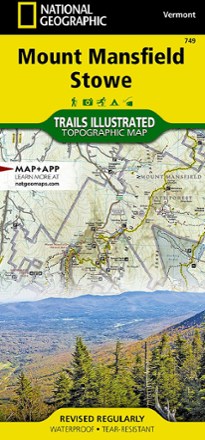
Mount Mansfield / Stowe Topographic Map
National GeographicEnjoy year-round recreational opportunities in northern Vermont with the Trails Illustrated Mount Mansfield / Stowe topographic map.
North America MapsNew England and Mid Atlantic Maps - DEPRECATED
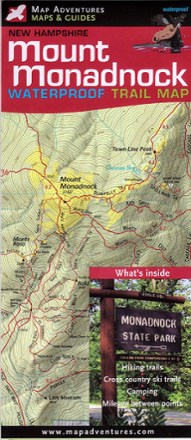
Mount Monadnock Waterproof Trail Map
Map AdventuresFun for families and seasoned hikers alike, Mount Monadnock is open year-round and offers 100-mile views from the summit. Explore all the area offers with the Map Adventures Mount Monadnock map.
North America MapsNew England and Mid Atlantic Maps - DEPRECATED

New Hampshire's Presidential Range Backcountry Ski Map
With over 100 routes for epic trips and making fresh tracks, New Hampshire's Presidential Range Backcountry Ski map is a ski-specific map and guide to the area's best steeps and descents.
North America MapsNew England and Mid Atlantic Maps - DEPRECATED
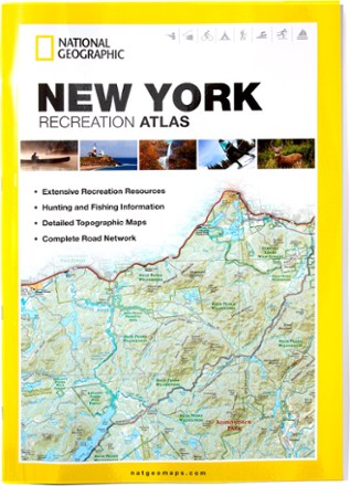
New York Recreation Atlas
National GeographicThe National Geographic New York Recreation Atlas offers detailed topographic maps, complete road networks and extensive recreation resources for the Empire State.
North America MapsNew England and Mid Atlantic Maps - DEPRECATED
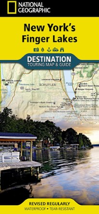
New York's Finger Lakes Destination Touring Map & Guide
National GeographicNew York's Finger Lakes Destination touring map & guide by National Geographic strikes the perfect balance between map and guidebook. It is an ideal resource for touring this unique region.
North America MapsNew England and Mid Atlantic Maps - DEPRECATED
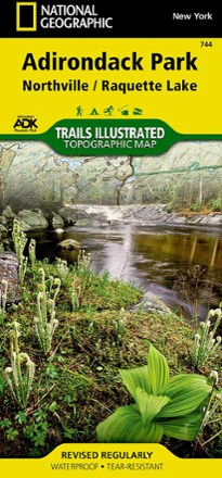
Northville/Raquette Lake Trail Map
National GeographicThis highly detailed Trails Illustrated folded map offers clear, concise coverage of Northville and Raquette Lake in New York.
North America MapsNew England and Mid Atlantic Maps - DEPRECATED