Filters
No categories available
No brands available
Mountain West Maps Deprecated

Cedar Mountain/Pine Valley Mountain Trail Map
National GeographicThis National Geographic Trails Illustrated folded map offers comprehensive coverage of Utah's Cedar Mountain and Pine Valley Mountain area.
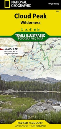
Cloud Peak Wilderness Map
National GeographicDiscover the wildest section of the Bighorn Mountains with this Cloud Peak Wilderness map from National Geographic Trails Illustrated. It offers vivid detail and a waterproof, rugged construction.

Collegiate Peaks Wilderness Area Topographic Map
National GeographicThe Trails Illustrated Collegiate Peaks Wilderness Area topographic map delivers incredible detail and valuable information to assist you in your exploration of this breathtaking wilderness.
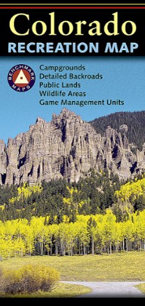
Colorado Recreation Map
Benchmark MapsThe Benchmark Maps Colorado Recreation Map delivers detailed coverage of the Centennial State with an award-winning design, generous page-to-page overlaps, GPS grids and easy-to-read symbols.
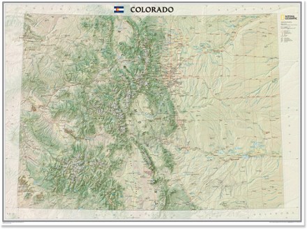
Colorado Wall Map - Tubed
National GeographicThe tubed National Geographic Colorado wall map offers a colorful visualization of the Centennial State's physical geography, forests and deserts, while stunning shaded relief depicts mountains.

Flaming Gorge/Eastern Uintas Trail Map
National GeographicThis detailed Trails Illustrated map offers comprehensive coverage of Utah's Flaming Gorge National Recreation Area and eastern Uintas.
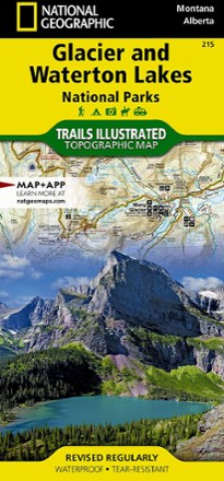
Glacier/Waterton Lakes National Parks Trail Map
National GeographicThis Trails Illustrated folded map offers comprehensive coverage of Glacier and Waterton Lakes national parks in Montana and Alberta.

Glen Canyon NRA Topographic Map
National GeographicThe Trails Illustrated Glen Canyon NRA topographic map is a great reference for outdoor adventure and exploration in this distinctive region of Utah and Arizona.

Grand Gulch Plateau Trail Map
National GeographicThis waterproof Trails Illustrated map of Utah's Grand Gulch Plateau in the San Juan Resource Area is a great reference for exploration.
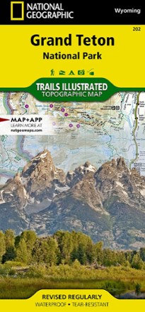
Grand Teton National Park Trail Map
National GeographicThis informative Trails Illustrated map will help you plan trips and explore the area in and around Wyoming's Grand Teton National Park.
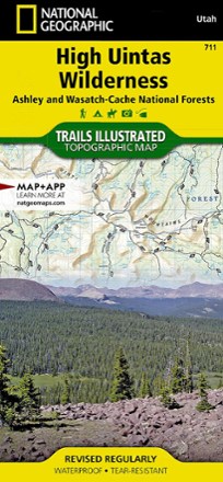
High Uintas Wilderness Topographic Map
National GeographicExplore the alpine vistas, glacier-formed lakes and Utah's highest peaks with the Trails Illustrated High Uintas Wilderness topographic map.
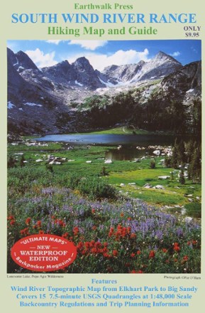
Hiking Map and Guide - South Wind River Range
Printed on waterproof plastic, this topographic map covers Elkhart Park to Big Sandy with backcountry regulations and trip planning information.
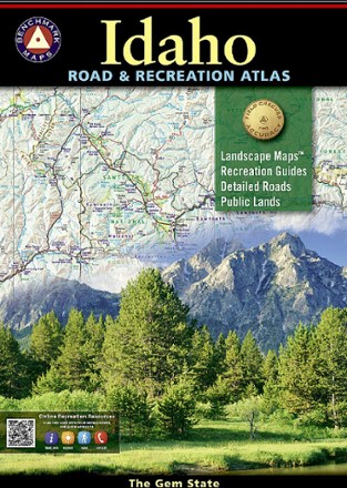
Idaho Road & Recreation Atlas - 6th Edition
Benchmark MapsUse the Benchmark Maps Idaho Road & Recreation Atlas to get out and discover the great state of Idaho. It boasts vivid, easy-to-read landscape maps and recreational details for even more outdoor fun.
Island in the Sky District: Canyonlands National Park Topographic Map
National GeographicThe Trails Illustrated Island in the Sky District: Canyonlands National Park topographic map combines unmatched detail with helpful info to make the most of your visit to this extraordinary region.