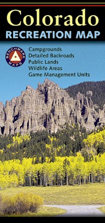

Colorado Recreation Map
Tech Specs
Specifications are maintained on Pack4Back GearDB (community edits and revision history). Values may differ from the manufacturer or your unit—verify before buying.
Description
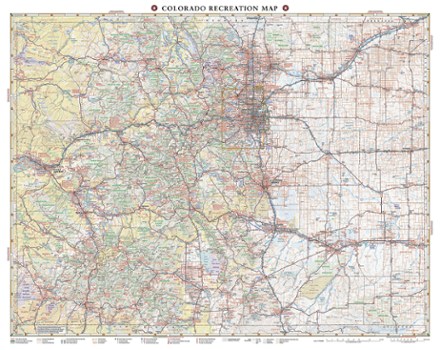
The Benchmark Maps Colorado Recreation Map delivers detailed coverage of the Centennial State with an award-winning design, generous page-to-page overlaps, GPS grids and easy-to-read symbols.
Features
- Field-checked for accuracy, landscape maps showcase beautiful, shaded relief of land topography
- Essential recreation information and road classes for the entire state, from freeways to off-road trails
- Recreation guide includes parks, monuments, historic sites, campgrounds, RV parks and boat launches
- Metro area maps are scaled to enhance detail and simplify urban navigation
- Climate graphs for selected cities and towns help you determine the best times of year to visit
- Comprehensive index for quickly locating attractions and destinations
- Regional maps show mileages and mileage charts
- Details include rest areas, exit numbers, point-to-point roadway mileages, road surface types and cities with elevation
- Folded dimensions: 4.25 x 9 in.
- Benchmark Maps & Atlases; copyright 2013