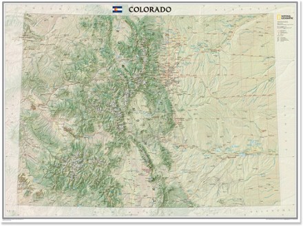

Colorado Wall Map - Tubed
Tech Specs
Description
The tubed National Geographic Colorado wall map offers a colorful visualization of the Centennial State's physical geography, forests and deserts, while stunning shaded relief depicts mountains.
Features
- Detailed map locates cities, towns, airports, national and state parks, military bases, mountains with peak elevations, lakes, rivers and other natural features
- Dimensions: 40.5 x 30.25 in.
- 1:705,645 scale
- Printed in the USA on heavy stock paper suitable for framing
- National Geographic Maps; copyright 2013