Filters
No categories available
No brands available
Mountain West Maps Deprecated

Absaroka Beartooth Wilderness Map
Beartooth PublishingTake along this GPS-ready, weather-resistant topographic map on your next trip to the Absaroka Beartooth Wilderness.

Absaroka-Beartooth Wilderness East Map
National GeographicThe Trails Illustrated Absaroka-Beartooth Wilderness East map offers comprehensive coverage of this wilderness in south central Montana, home to the state's highest peak.
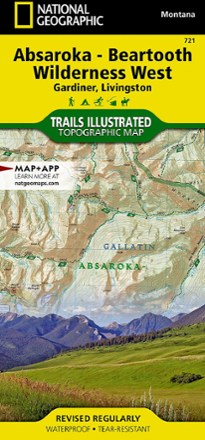
Absaroka-Beartooth Wilderness West Map
National GeographicThe Trails Illustrated Absaroka-Beartooth Wilderness West map offers comprehensive coverage of this wilderness in south central Montana, home to the state's highest peak.
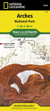
Arches National Park Trail Map
National GeographicThis adventure-ready Trails Illustrated map offers comprehensive coverage of Utah's Arches National Park in colorful, vivid detail.
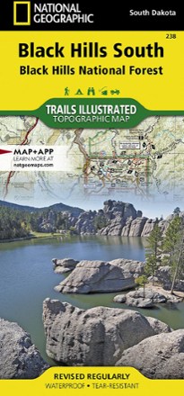
Black Hills Southeast Topographic Map
National GeographicThe detailed Trails Illustrated Black Hills Southeast topographic map offers comprehensive coverage of the southeast Black Hills in South Dakota.
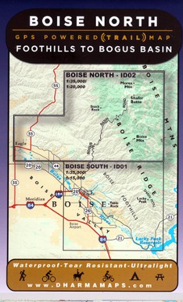
Boise North: Foothills to Bogus Basin Map
Venture to the wilderness north of Boise with Boise North: Foothills to Bogus Basin map, a waterproof map built for rugged adventures with well marked trailheads and numbered trails.
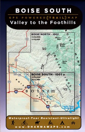
Boise South: Valley to the Foothills Map
Leading from the Boise valley to the foothills, Boise South: Valley to the Foothills map sets the course to rugged adventures with well-marked trailheads and numbered trails in a waterproof design.

Bryce Canyon National Park Trail Map
National GeographicThis informative Trails Illustrated map will help you plan trips and explore the area in and around Utah's Bryce Canyon National Park.
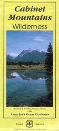
Cabinet Mountains Wilderness Map
Explore Montana's 35-mile range of glaciated peaks and valleys with the help of the official Forest Service map of the Cabinet Mountains Wilderness, featuring the 8,738-foot summit of Snowshoe peak.
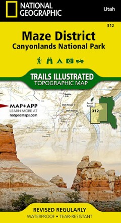
Canyonlands National Park - Maze District Trail Map
National GeographicThis National Geographic Trails Illustrated folded map offers comprehensive coverage of the Maze district in Utah's Canyonlands National Park.
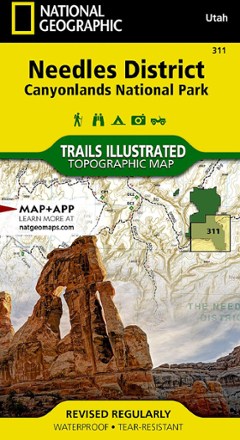
Canyonlands National Park - Needles District Trail Map
National GeographicThis National Geographic Trails Illustrated folded map offers comprehensive coverage of the Needles district in Utah's Canyonlands National Park.
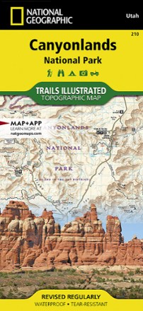
Canyonlands National Park Trail Map - Needles/Isle
National GeographicThis National Geographic Trails Illustrated folded map offers comprehensive coverage of the Needles/Isle areas of Canyonlands National Park in Utah.
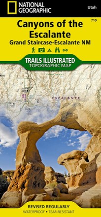
Canyons of the Escalante Trail Map
National GeographicThis National Geographic Trails Illustrated folded map offers comprehensive coverage of the canyons of the Escalante in Utah.
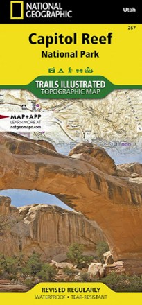
Capitol Reef National Park Trail Map
National GeographicThe National Geographic Trails Illustrated Capitol Reef National Park trail map offers clear, detailed coverage of this part of Utah's amazing geology.