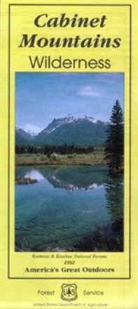

Cabinet Mountains Wilderness Map
Tech Specs
Specifications are maintained on Pack4Back GearDB (community edits and revision history). Values may differ from the manufacturer or your unit—verify before buying.
Description
Explore Montana's 35-mile range of glaciated peaks and valleys with the help of the official Forest Service map of the Cabinet Mountains Wilderness, featuring the 8,738-foot summit of Snowshoe peak.
Features
- Printed on waterproof and tear-resistant material for durability
- Includes elevation ranges from a low of 2,880 ft. to 8,738 ft. atop Snowshoe peak
- Highlights recreation opportunities such as trails, campgrounds, boat launches and more
- Includes official US Forest Service district office contact information to check local conditions as well as township and range section numbers
- Federal, state and private land ownership boundaries are color-coded