Filters
No categories available
No brands available
Midwest Maps
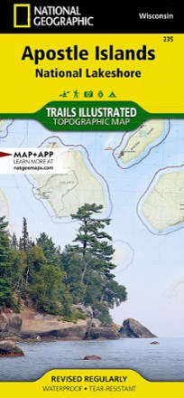
Apostle Islands Topographic Map
National GeographicThe Trails Illustrated Apostle Islands topographic map offers clear, concise info to help you savor this area's unique combination of cultural resources, natural beauty and historical significance.

Hoosier National Forest Trail Map
National GeographicThis detailed Trails Illustrated map from National Geographic offers comprehensive coverage of Indiana's Hoosier National Forest.
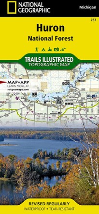
Huron National Forest Topographic Map
National GeographicThe Trails Illustrated Huron National Forest topographic map is an essential travel companion for outdoor enthusiasts exploring this area in northeast lower Michigan.
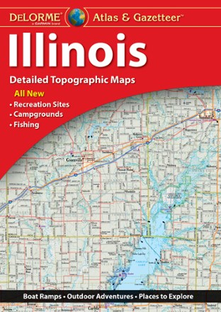
Illinois Atlas and Gazetteer
DeLormePerfect for sightseeing, trip planning and exploring back roads, the DeLorme Illinois Atlas and Gazetteer will help you find the well-known and lesser-traveled spots of the Prairie State.

Indiana Atlas and Gazetteer
DeLormeBike the Cardinal Greenway or take a drive on the many historic scenic byways. The DeLorme Indiana Atlas and Gazetteer covers the entire Hoosier State in fine detail.
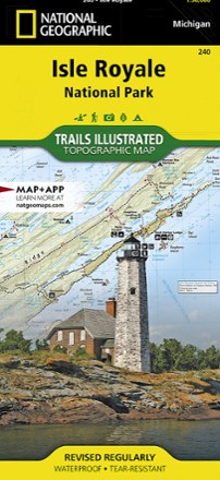
Isle Royale National Park Topographic Map
National GeographicThe Trails Illustrated Isle Royale National Park topographic map delivers unmatched detail and valuable information to assist you in your exploration of this remote wilderness.
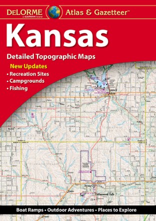
Kansas Atlas and Gazetteer
DeLormeWhether you're on a road trip or hoping to find the less-traveled corners of the state, the DeLorme Kansas Atlas and Gazetteer has the maps you'll want for trip planning and backcountry access.

Manistee North Topographic Map
National GeographicThe Trails Illustrated Manistee North topographic map combines unmatched detail with helpful information to offer an invaluable tool for making the most of your visit to this scenic region.

Manistee South Topographic Map
National GeographicExplore the many recreational opportunities available year-round in Michigan's northern lower peninsula with the Trails Illustrated Manistee South topographic map.
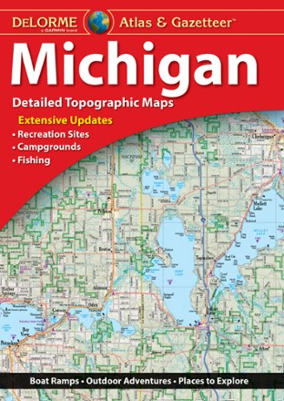
Michigan Atlas and Gazetteer
DeLormeA great companion for outdoor recreation and trip planning, the DeLorme Michigan Atlas and Gazetteer covers all of the Wolverine State in fine detail, whether you're exploring the mitten or the UP.
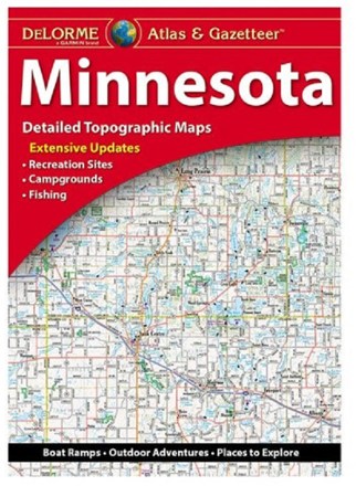
Minnesota Atlas & Gazetteer
DeLormeExperience the land of 10,000 lakes with the DeLorme Minnesota Atlas and Gazetteer in the navigator's seat, and see how much recreation the Gopher State has to offer for all outdoors lovers.
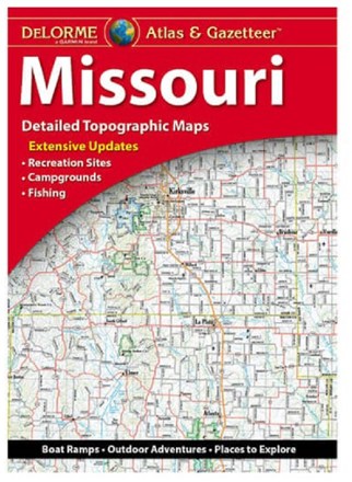
Missouri Atlas & Gazetteer
DeLormeShowing you the way to an abundance of outdoor recreation all across the Show-Me State, the DeLorme Missouri Atlas and Gazetteer is the best companion to your next road trip.
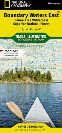
National Geographic 752 Boundary Waters - East and Superior National Forest Trail Map
National GeographicThis Trails Illustrated 753 Boundary Waters - East and Superior National Forest trail map from National Geographic offers detailed coverage of the eastern Boundary Waters Canoe Area Wilderness.
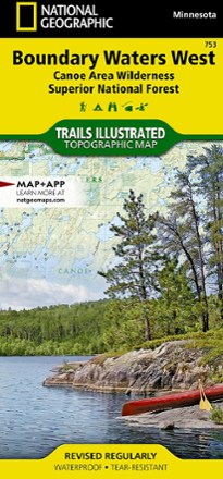
National Geographic 753 Boundary Waters - West and Superior National Forest Trail Map
National GeographicThis Trails Illustrated 753 Boundary Waters - West and Superior National Forest trail map from National Geographic offers detailed coverage of the western Boundary Waters Canoe Area Wilderness.