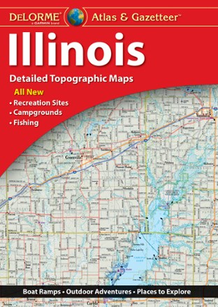

Illinois Atlas and Gazetteer
Tech Specs
BrandDeLorme
Best UseTravel
State / ProvinceIllinois
Folded Dimensions15.5 x 11 x 1 inches
Unfolded Dimensions15.5 x 22 x 1 inches
Map Scale1:180,000
Double SidedYes
WaterproofYes
PublisherGarmin
Copyright Year2022
Description
Perfect for sightseeing, trip planning and exploring back roads, the DeLorme Illinois Atlas and Gazetteer will help you find the well-known and lesser-traveled spots of the Prairie State.
Features
- Detailed, large-format topographic maps
- Includes topographic maps with elevation contours, major highways and roads, dirt roads, trails and land use data
- Gazetteer section provides essential information on points of interest, landmarks, state and national parks, campgrounds, historic sites, scenic drives and more