Filters
No categories available
No brands available
Media

Boston Harbor Islands National Recreation Area Topographic Map
National GeographicThe Trails Illustrated Boston Harbor Islands National Recreation Area topographic map is an essential travel companion for visitors enjoying this area's abundant recreational opportunities.
North America MapsNew England and Mid Atlantic Maps - DEPRECATED
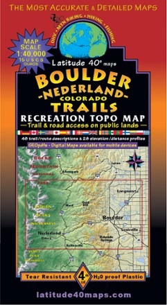
Boulder - Nederland Trails Map
Latitude 40 MapsA recreational topo map covering the beautiful terrain in and around Boulder County, Colorado, the Latitude 40 Maps Boulder - Nederland Trails map includes 48 trail descriptions for outdoor lovers.
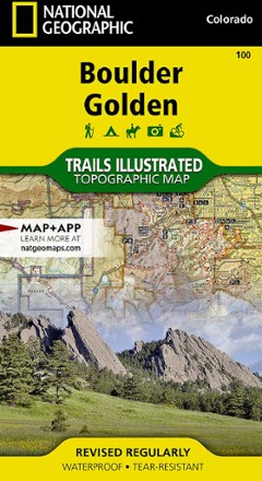
Boulder / Golden Area Map - Colorado
National GeographicThis informative Trails Illustrated map will help you plan trips to and explore the area in and around Boulder and Golden, Colorado.
Boulder Canyon Guidebook
TrangoWritten by Jason Haas and Chris Weidner—who climbed most of the nearly 2,500 routes routes in the canyon—Boulder Canyon Guidebook is deeply infused with first-hand knowledge to guide you up the crags.

Boulder Canyon Rock Climbs - 3rd Edition
WolverineFilled with all the beta you need for more than 1,800 routes, the 3rd edition of Boulder Canyon Rock Climbs includes better route photos, extensive mapping and plenty of new crags to conquer.
North America Climbing GuidebooksColorado Climbing Guidebooks - DEPRECATED
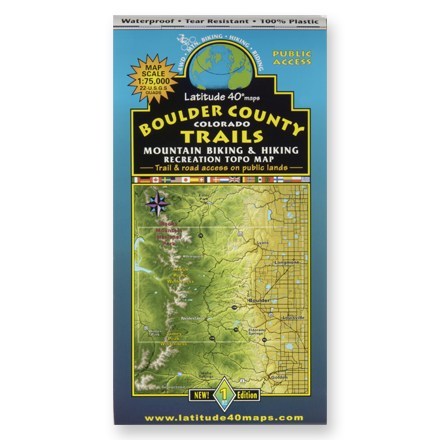
Boulder County Colorado Trails Map
Latitude 40 MapsA waterproof topographic map of Boulder County trails in Colorado for hiking and moutain biking
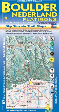
Boulder, Nederland and Flatirons Trail Map - 4th Edition
Sky Terrain Trail MapsVenture into the front range of the Rockies with the Sky Terrain Boulder, Nederland and Flatirons Trail Map, vividly detailed with shade relief topography and an abundance of trails to trek.

Boundary Waters Canoe Area Wilderness Topographic Map Pack
National GeographicThe Trails Illustrated Boundary Waters Canoe Area Wilderness topographic map pack offers detailed guidance through more than a million acres of this unique wilderness in Superior National Forest.
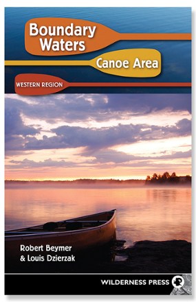
Boundary Waters Canoe Area: Western Region - 7th Edition
Wilderness PressCovering 27 entry points into scenic wilderness,Boundary Waters Canoe Area: Western Region offers you fully updated information to plan a trip you'll never forget.

Bozeman Area Outdoor Recreation Map
Beartooth PublishingCovering the Bozeman, Montana, area from the Sacagawea Peak to Hyalite Peak, this Beartooth Publishing topographic recreation map features a larger scale that's ideal for trail and backcountry use.

Bozeman, Big Sky, Bridger Range Topographic Map
National GeographicExperience soaring peaks, pristine landscapes and year-round recreation with this expertly researched National Geographic Bozeman, Big Sky and Bridger Range topographic map.

Bradshaw Mountains Topographic Map
National GeographicCreated in partnership with the U.S. Forest Service and others, the Trails Illustrated Bradshaw Mountains topographic map is an essential companion for outdoor enthusiasts exploring the area.

Braiding Sweetgrass - Gift Edition
Updated with a new introduction from author Robin Wall Kimmerer, this hardcover gift edition of Braiding Sweetgrass celebrates the book as an object of meaning that will last the ages.

Brasstown Bald / Chattooga River Topographic Map
National GeographicThe Trails Illustrated Brasstown Bald / Chattooga River topographic map delivers unmatched detail and valuable information to assist you in your exploration of this fascinating area of Georgia.