Filters
No categories available
No brands available
Maps
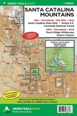
Map 2886S - Santa Catalina Mountains
Green TrailsCentered around Mount Lemmon, the Green Trails Santa Catalina Mountains map (2886S) offers a beautifully detailed topographic guide to this region just northeast of Tucson, Arizona.
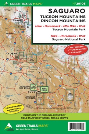
Map 2910S - Saguaro
Green TrailsIncluding both Tucson Mountain Park and Saguaro National Park, the Green Trails Saguaro map (2910S) offers a beautifully detailed topographic guide for outdoor recreation near Tucson, Arizona.

Map 2934S - Chiricahua Mountains
Green TrailsHike, bike and bird through the marvelous Chiricahua Mountains with Green Trails Map 2934S. Dark skies, rare birds, fascinating history and fantastic rock formations await.

Map 2962S - Santa Rita Mountains
Green TrailsCentered around Mt. Wrightson, the Green Trails Santa Rita Mountains map (2962S) offers a beautifully detailed topographic guide to this region of southern Arizona.
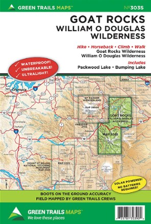
Map 303S - Goat Rocks - William O. Douglas Wilderness Map
Green TrailsExplore Washington's state's spectacular alpine scenery of the south Cascades with Green Trails Map 303S - Goat Rocks - William O. Douglas Wilderness map as your boots-on-the-ground guide to the area.
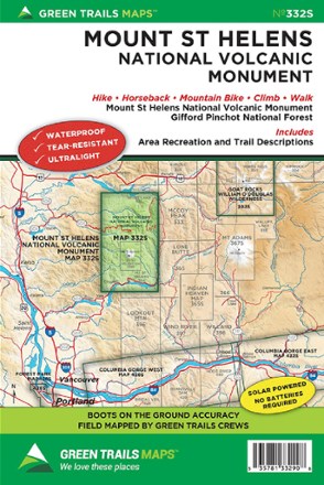
Map 332S - Mount St. Helens National Volcanic Monument
Green TrailsWith accurate and beautiful topographic detail, the Green Trails Mount St. Helens National Volcanic Monument map (332S) is your boots-on-the-ground guide to this geologically rich volcanic landscape.
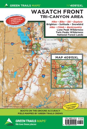
Map 4091SXL - Wasatch Front
Green TrailsWhether you're looking for a day hike close to the city or backcountry access, the Green Trails Maps Wasatch Front map will keep you up to date on the trails, access and more of the Tri-Canyon area.
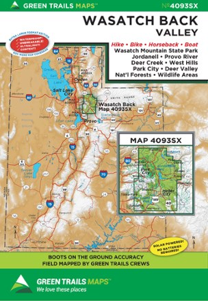
Map 4093SX - Wasatch Back, UT
Green TrailsStretching from to Wanship to Sundance, the Green Trails Wasatch Back map (4093SX) offers a beautifully detailed topographic guide to this region in Utah.
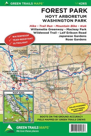
Map 426S - Forest Park Map
Green TrailsExplore the trails in your own backyard. This urban map supplies detailed route information for Forest Park and Hoyt Arboretum.
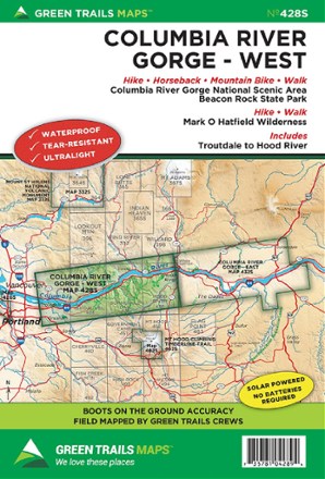
Map 428S - Columbia River Gorge - West
Green TrailsStretching from Troutdale to Hood River, the Green Trails Columbia River Gorge - West map (428S) offers a beautifully detailed topographic guide to this region in Oregon and Washington.
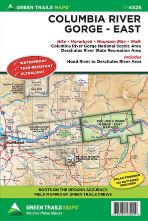
Map 432S - East Columbia River Gorge
Green TrailsThe Green Trails East Columbia River Gorge map (432S) offers a beautifully detailed topographic guide to the scenic Gorge from Hood River to the Deschutes River National Scenic Area.
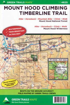
Map 462SX - Mount Hood Climbing Timberline Trail
Green TrailsWork your way toward the tree line and meet up with PCT with the Green Trails Mount Hood Climbing Timberline Trail map (462SX), a richly detailed topographic guide to hiking Wy'east.

Map 515X - Methow Valley, WA
Green TrailsWith so many multi-activity trails to explore from Sun Mountain to Methow Valley, Green Trails Methow Valley map (515X) gives you access to its expanded coverage with beautifully detailed topography.

Map 622SX - Bend-Three Sisters
Green TrailsHome to many year-round trails as well as some of the best mountain bike terrain in the country, the Green Trails Bend-Three Sisters Map (622SX) fills you in with beautifully detailed topography.