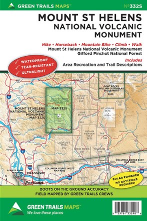
Map 332S - Mount St. Helens National Volcanic Monument
Tech Specs
Specifications are maintained on Pack4Back GearDB (community edits and revision history). Values may differ from the manufacturer or your unit—verify before buying.
BrandGreen Trails
Best UseHiking
Folded Dimensions9 x 6 inches
Unfolded Dimensions24 x 18 inches
Map Scale1:63,360
Double SidedYes
WaterproofYes
PublisherGreen Trails Maps
Copyright Year2016
State / ProvinceWashington
Map Number332S
Description
With accurate and beautiful topographic detail, the Green Trails Mount St. Helens National Volcanic Monument map (332S) is your boots-on-the-ground guide to this geologically rich volcanic landscape.
Features
- Covers Mount Saint Helens National Volcanic Monument and Gifford Pinchot National Forest, with area recreation and trail descriptions for easy trip-planning
- Green Trails Maps show the most current trail, road, and access information to national forests, national parks, state and local parks and other public lands
- Printed on waterproof and tear-resistant paper, this map withstands the rigors of adventures in less than ideal conditions