Filters
No categories available
No brands available
Colorado Maps
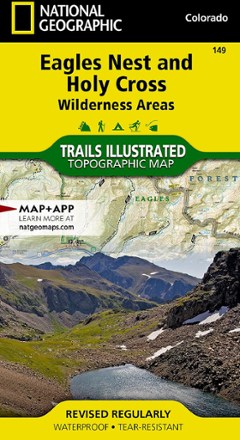
Eagles Nest and Holy Cross Wilderness Areas Topographic Map
National GeographicThe Trails Illustrated Eagles Nest and Holy Cross Wilderness Areas topographic map provides incredible detail of this scenic region in Colorado's Rocky Mountains.
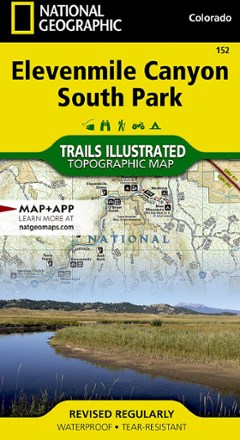
Elevenmile Canyon South Park Topographic Map
National GeographicThis expertly researched and highly detailed National Geographic Elevenmile Canyon South Park topographic map will aid your exploration whether on foot, horseback, bike, motorcycle, ATV or snowmobile.
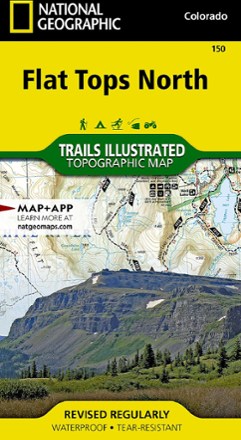
Flat Tops North Topographic Map
National GeographicYour key to adventuring in Colorado's second-largest wilderness, the Trails Illustrated Flat Tops North topographic map offers unmatched detail and valuable info to assist you in your exploration.

Flat Tops South Topographic Map
National GeographicThe Trails Illustrated map of Flat Tops South is your key to adventure in the southern region of Colorado's second largest wilderness area.
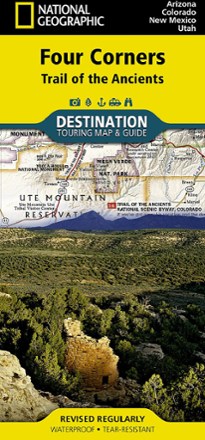
Four Corners: Trail of the Ancients Destination Map
National GeographicThe National Geographic Four Corners: Trail of the Ancients Destination Map combines map and guidebook to display this unique corner of Arizona, Colorado, New Mexico and Utah.
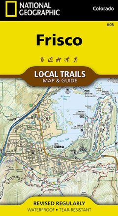
Frisco Local Trails Map & Guide
National GeographicFind year-round opportunities for adventure with this National Geographic Local Trails map and guide of Frisco, Colorado—located at the core of the aptly named Summit County.
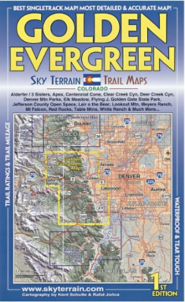
Golden Evergreen Trail Map - 1st Edition
Sky Terrain Trail MapsVenture to the closest mountain parks just west of Denver with the waterproof, pocket-size Sky Terrain Golden Evergreen Trail Map as your navigator to the area's abundance of singletracks and trails.
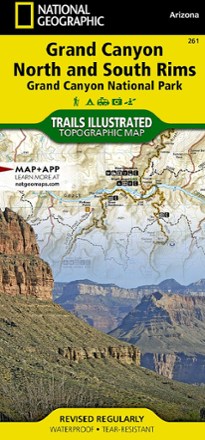
Grand Canyon National Park Trail Map - Bright Angel Canyon/North and South Rims
National GeographicThis Trails Illustrated Grand Canyon National Park trail map offers comprehensive coverage of Bright Angel Canyon and the North and South rims.
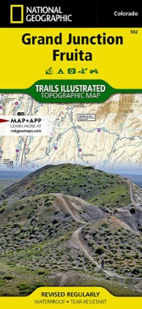
Grand Junction / Fruita Topographic Map
National GeographicPacked with over 500 miles of trails, the Trails Illustrated Grand Junction / Fruita topographic map is ideal for anyone hitting the trails in this outdoor recreation mecca of Colorado.

Grand Mesa Trail Map
National GeographicThis National Geographic Trails Illustrated folded map offers comprehensive coverage of Grand Mesa in Colorado.

Green Mountain Reservoir/Ute Pass Trail Map
National GeographicThis detailed Trails Illustrated folded map offers comprehensive coverage of the Green Mountain Reservoir and Ute Pass areas in Colorado.

Gunnison / Pitkin Topographic Map
National GeographicThe Trails Illustrated Gunnison / Pitkin topographic map offers unparalleled detail for outdoor enthusiasts exploring this scenic area on the western slope of the Colorado Rockies.
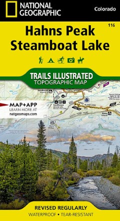
Hahns Peak/Steamboat Lake Trail Map
National GeographicThis colorful Trails Illustrated folded map offers detailed coverage of Colorado's Hahns Peak and Steamboat Lake.
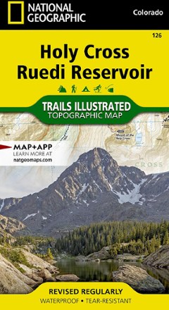
Holy Cross Ruedi Reservoir Topographic Map
National GeographicThe Trails Illustrated Holy Cross Ruedi Reservoir topographic map delivers unmatched detail and valuable information to assist you in your exploration of this rugged area of Colorado.