Filters
No categories available
No brands available
California Maps

Mammoth Recreation Map
Sierra MapsResearched and authored by local hikers and residents, the Sierra Maps Mammoth Recreation map contains all the info you need to confidently plan your Mammoth area adventures.

Mammoth-Mono Region Recreation Topo Map and Guide
Sierra MapsUnlock a wealth of outdoor fun—camping, hiking, biking, fishing and more—with the Sierra Maps Mammoth-Mono Region recreation topo map and guide, your key to adventure from Bridgeport to Crowley Lake.
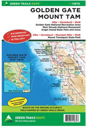
Map 1187S - Golden Gate, Mount Tam
Green TrailsThe Green Trails map for Golden Gate and Mount Tam map guides you to stunning views, fascinating topography and 400 miles of trails through the Marin Headlands, Mt. Tamalpais and Marin watershed.
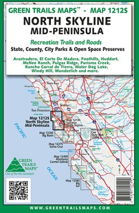
Map 1212S - North Skyline Mid-Peninsula
Green TrailsThe Green Trails North Skyline Mid-Peninsula map offers a beautifully detailed topographic guide to the coastal south side of California's Bay Area.
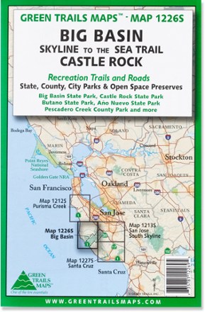
Map 1226S - Big Basin and Castlerock
Green TrailsCentered around Skyline-to-the-Sea trail, the Green Trails Big Basin and Castlerock map (1226S) offers a beautifully detailed topographic guide to this slice of the central California coastal region.
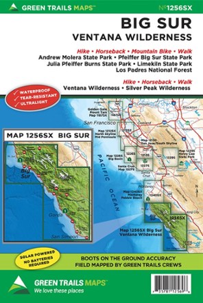
Map 125SX - Big Sur - Ventana Wilderness
Green TrailsExplore Big Sur and the Ventana Wilderness with Green Trails Map 125SX, a beautifully detailed topographic guide to this region of coastal California.
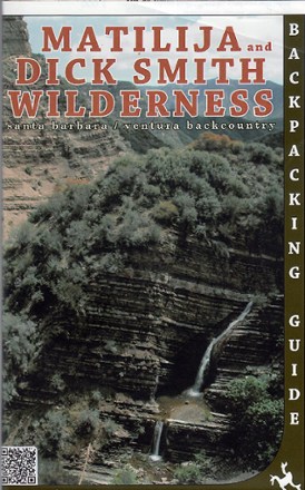
Matilija and Dick Smith Wilderness Map
Venture further into the wild backcountry of Santa Barbara and Ventura County with Matilija and Dick Smith Wilderness map guiding you way through these magnificent natural spaces.

Merced & Tuolumne Rivers Topographic Map
National GeographicThe Trails Illustrated Merced & Tuolumne Rivers topographic map is an essential travel companion for outdoor enthusiasts exploring this area just west of Yosemite National Park.
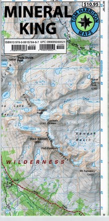
Mineral King Trail Map
Tom Harrison CartographyPlan your next adventure with the Tom Harrison Cartography Mineral King Trail Map, and discover this stunning subalpine glacial valley in the southern part of California's Sequoia National Park.

Mojave National Preserve Trail Map
National GeographicThis detailed Trails Illustrated folded map offers comprehensive coverage of California's Mojave National Preserve.
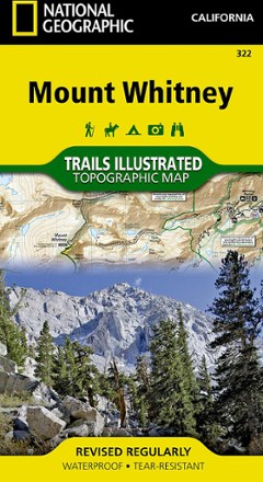
Mount Whitney Map
National GeographicThe National Geographic Trails Illustrated Mount Whitney map offers detailed coverage of the grandeur and terrain surrounding the highest peak in the contiguous United States.
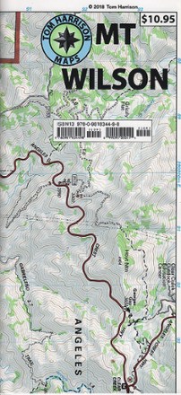
Mount Wilson Trail Map
Tom Harrison CartographyGreatly updated in 2018 to cover areas not clearly shown in the previous edition, the Tom Harrison Cartography Mount Wilson trail map features popular trails on a larger scale.
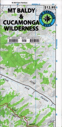
Mt Baldy & Cucamonga Wilderness Trails Map
Tom Harrison CartographyPlan a hike or go cross-country skiing or snowshoeing with the Mt Baldy & Cucamonga Wilderness Trails Map from Tom Harrison Cartography.