Filters
No categories available
No brands available
California Maps
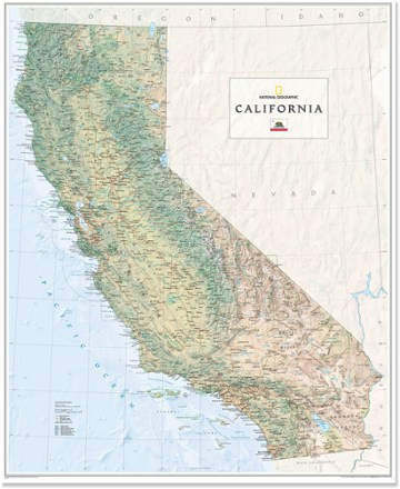
California Wall Map - Tubed
National GeographicThe National Geographic California wall map offers a colorful visualization of the Golden State's physical geography, forests and deserts. Stunning shaded relief depicts mountains and ocean depths.

California's Lost Coast Map
Wilderness PressExplore the coastline of northern California with this map as your guide to King Range National Conservation Area and Sinkyone Wilderness State Park.

Carson-Iceberg, Emigrant & Mokelumne Wilderness Areas Topographic Map
National GeographicThe Trails Illustrated Carson-Iceberg, Emigrant & Mokelumne Wilderness Areas topographic map provides unmatched detail and valuable info for outdoor enthusiasts exploring California's Sierra Nevada.
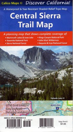
Central Sierra Trail Map
Calico MapsDiscover the majestic beauty of the eastern and western Sierra Nevada mountains with the foldable, pocket-sized convenience of the Central Sierra Trail Map as your guide.
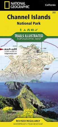
Channel Islands National Park Topographic Map
National GeographicThe Trails Illustrated Channel Islands National Park Topographic Map covers with unparalleled detail the 5 islands that encompass the park, including the State Marine Reserve surrounding the islands.
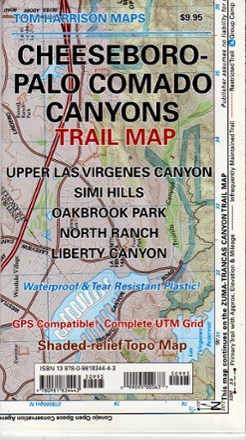
Cheeseboro - Palo Comado Canyons Trail Map
Tom Harrison CartographyThe Cheeseboro - Palo Comado Canyons trail map offers a full-color, topographic guide with shaded relief for hiking, backpacking, and mountain biking around this Ventura County open space.
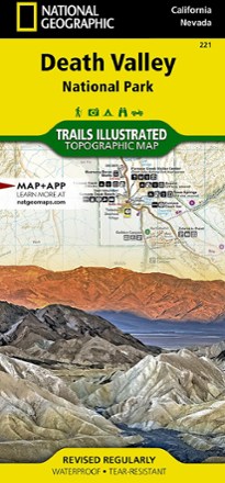
Death Valley National Park Trail Map - California
National GeographicThis National Geographic Trails Illustrated folded map offers comprehensive coverage of California's Death Valley National Park.
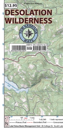
Desolation Wilderness Map
Tom Harrison CartographyGet your guide to one of the most popular backpacking ares in the Sierra Nevada. With the Tom Harrison Cartography Desolation Wilderness map, you can plan your next hike or backpacking trip with ease.
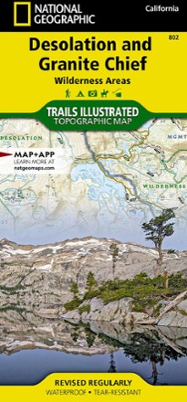
Desolation and Granite Chief Wilderness Areas Topographic Map
National GeographicIf you want to explore more remote corners of the Sierra, the National Geographic Desolation and Granite Chief Wilderness Areas topographic map will aid in your trip-planning and hiking adventures.
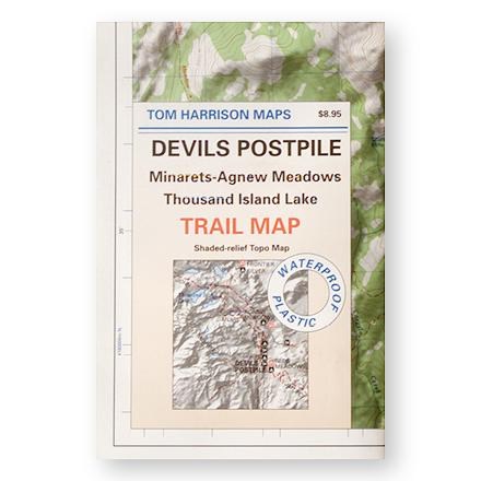
Devil's Postpile, Minarets-Agnew Meadows, Thousand Island Lake Trail Map
Tom Harrison CartographyShaded-relief topo map of the Devil's Postpile, Minarets-Agnew Meadows, Thousand Island Lake area printed on waterproof plastic
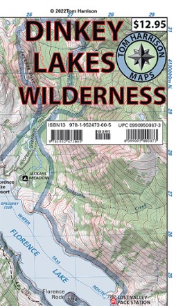
Dinkey Lakes Wilderness Map
Tom Harrison CartographyDon't leave on your next Sierra Nevada adventure without the Dinkey Lakes Wilderness map from Tom Harrison Cartography. The full color map highlights all the info you need to plan your next trip.
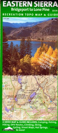
Eastern Sierra Recreation Topo Map & Guide - 6th Edition
Sierra MapsFrom Lone Pine to Bridgeport, discover the grandeur of the Eastern Sierra Nevada region—home to Whitney Portal and its towering peaks—with the Sierra Maps Eastern Sierra Recreation Topo Map & Guide.

Emigrant Wilderness Map
Tom Harrison CartographyDiscover the hiking trails of California's Emigrant Wilderness—located just north of Yosemite National Park—with this map from Tom Harrison Cartography.
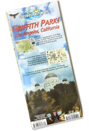
Griffith Park! Map
The Griffith Park! map from Green Planet Maps makes it easy to explore the trails, zoo, observatory, attractions and activities of this beloved and iconic Southern California park.