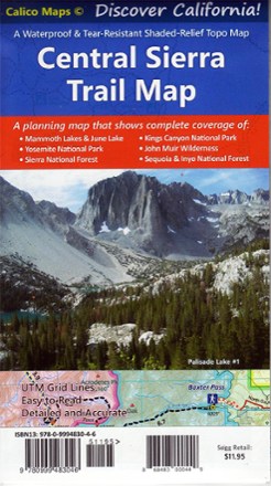
Central Sierra Trail Map
Tech Specs
Specifications are maintained on Pack4Back GearDB (community edits and revision history). Values may differ from the manufacturer or your unit—verify before buying.
BrandCalico Maps
Best UseTravel
State / ProvinceCalifornia
Folded Dimensions7 x 4 inches
Unfolded Dimensions28 x 20 inches
Map Scale1:164,700
Double SidedYes
WaterproofYes
PublisherCalico Maps
Copyright Year2022
SustainabilityContains recycled materials
Description
Discover the majestic beauty of the eastern and western Sierra Nevada mountains with the foldable, pocket-sized convenience of the Central Sierra Trail Map as your guide.
Features
- Shaded-relief topographic map is printed on waterproof and tear-resistant paper
- Includes trailheads, campgrounds, backcountry camps, groceries, gas, forest road names and more
- Provides trail mileages and elevation points
- Covers Mammoth; June Lake; Yosemite National Park; Kings Canyon National Park; John Muir Wilderness; Ansel Adams Wilderness; and the Sequoia, Sierra and Inyo national forests