Books And Maps
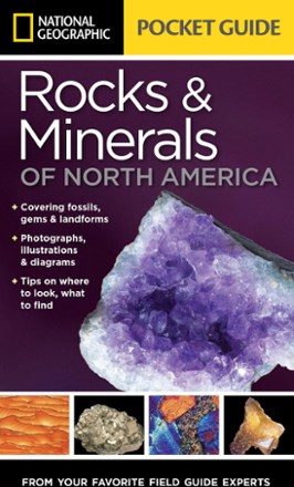
Pocket Guide to Rocks and Minerals of North America
National GeographicThe National Geographic Pocket Guide to Rocks and Minerals of North America offers a basic beginner's field guide to help you identify common rocks, minerals, gems, fossils and land formations.

Pocket Guide to Weather Forecasting
Pocket Guides PublishingLearn how to predict changes in the weather with the useful Pocket Guide to Weather Forecasting. Its step-by-step process simplifies forecasting weather with easy-to-follow methodologies.
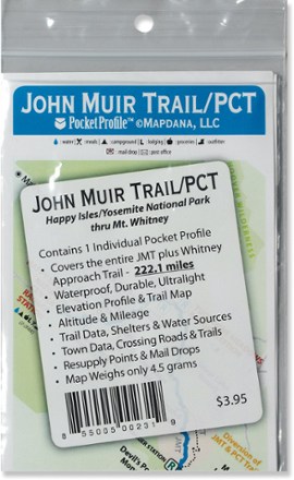
Pocket Profile John Muir Trail and PCT Map
AntiGravityGearThe Pocket Profile John Muir and PCT map from AntiGravityGear is the perfect-size companion for moment-by-moment reference when you're on the John Muir portion of the Pacfic Crest Trail.

Point Reyes Hiking & Biking Map
Map AdventuresThis Point Reyes Hiking & Biking map includes detailed descriptions of 21 hiking and biking routes scattered throughout the Point Reyes area, along with 80 individual trail descriptions.

Point Reyes National Seashore Map
Tom Harrison CartographyMarked with trails for hiking and mountain biking, the Point Reyes National Seashore Map from Tom Harrison Cartography is your guide to outdoor recreation in this beautiful region.
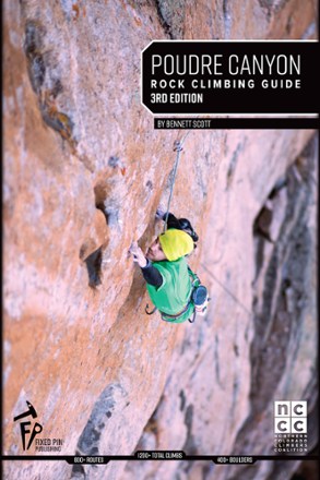
Poudre Canyon Rock Climbing Guide - 3rd Edition
Fixed Pin PublishingLocated northwest of Fort Collins, Colo., the Poudre Canyon is home to some of the highest quality sport climbing and bouldering in the state. Get climbing with the Poudre Canyon Rock Climbing Guide.
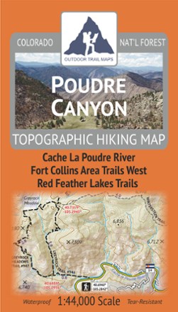
Poudre Canyon Topographic Map
Outdoor Trail MapsPlan your own adventure with the light, tough and compact Poudre Canyon topographic map. It shows all of the hiking trails in and around the Cache La Poudre River canyon and Red Feather Lakes areas.
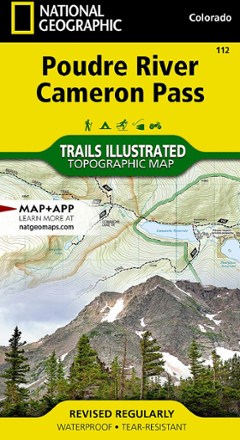
Poudre River and Cameron Pass Map
National GeographicThis National Geographic Trails Illustrated folded map offers comprehensive coverage of the Poudre River and Cameron Pass areas in Colorado.
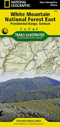
Presidential Range / Gorham Topographic Map
National GeographicThe Trails Illustrated Presidential Range / Gorham Topographic Map provides unmatched detail for outdoor enthusiasts seeking to enjoy the year-round recreational opportunities this area has to offer.
North America MapsNew England and Mid Atlantic Maps - DEPRECATED
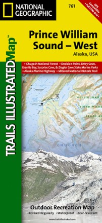
Prince William Sound - West Map
National GeographicThis Trails Illustrated folded map is your essential guide for outdoor exploration in the west region of Alaska's Prince William Sound.
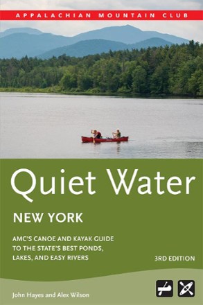
Quiet Water New York - 3rd Edition
AMCWhether you are paddling as a family or are an accomplished canoer or kayaker searching for a challenge, Quiet Water New York is the guide you need to explore the state's ponds, lakes and easy rivers.
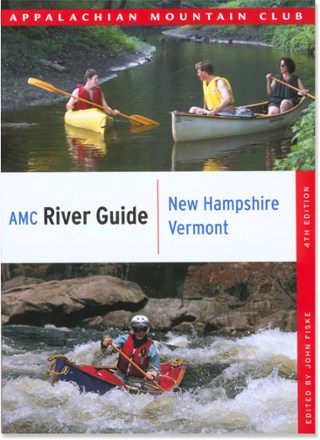
Quiet Water: New Hampshire and Vermont Canoe and Kayak Guide - 3rd Edtion
AMCQuiet Water: New Hampshire and Vermont Canoe and Kayak Guide is great for canoeists and kayakers of all abilities, and features 95 trips that offer the best calm-water paddling in the region.
North America Paddling GuidebooksNew England and Mid Atlantic Paddling Guidebooks - DEPRECATED
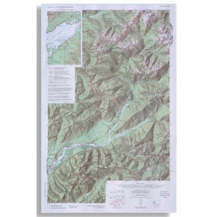
Quinault Colonel Bob - 4th Edition
Custom CorrectOlympic National Park topographic map scale 1:62 500

Rail-Trail Hall of Fame: A Selection of America's Premier Rail-Trails (Revised)
Wilderness PressAll across the country, unused railroad corridors now function as public multi-use trails. Hike or bike them to your heart's content with the help of this revised Rail-Trail Hall of Fame guide.
Camping and Hiking GuidebooksNorth America Hiking Guidebooks