Filtros
Books And Maps
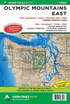
Map 168SX - Olympic Mountains East
Green TrailsWith 60% more coverage in rich topographic detail, the Green Trails Olympic Mountains East map (168SX) is your boots-on-the-ground guide to the wilderness of the east side of the Olympic Peninsula.

Map 16SX - North Cascades and Ross Lake
Green TrailsStretching from Pasayten Peak to Snowking Mountain, the Green Trails North Cascades and Ross Lake map (16SX) offers a detailed topographic guide to this expansive region of Washington state.
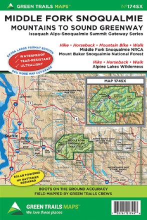
Map 174SX - Middle Fork Snoqualmie
Green TrailsVenture into wilderness of the Mountains to Sound Greenway just 20 miles from Seattle with the Green Trails Middle Fork Snoqualmie map (174SX), a beautifully detailed topographical guide.

Map 203S - Cougar Mountain Squak Mountain
Green TrailsCaptured in beautiful topographic detail, the Green Trails Cougar Mountain Squak Mountain map (203S) is the gateway to the incredible parks and trails just a short drive from Seattle.
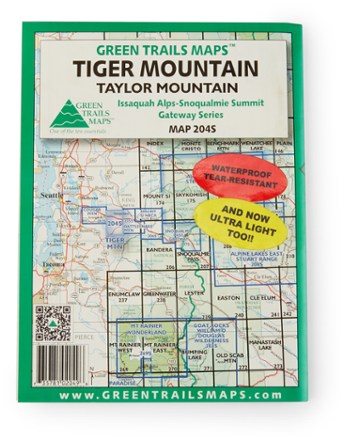
Map 204S - Tiger Mountain/Taylor Mountain
Green TrailsWith boots-on-the-ground accuracy and rich topographic detail, the Green Trails Tiger Mountain And Taylor Mountain map leads you to some of the best recreation within the Mountains to Sound Greenway.
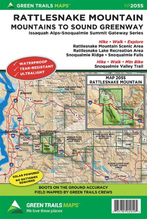
Map 205S - Rattlesnake Mountain
Green TrailsThere are many hiking options just a short drive from Seattle. Green Trails Rattlesnake Mountain map (205S) leads from Rattlesnake Mountain to the Snoqualmie Valley in beautifully detailed topography.
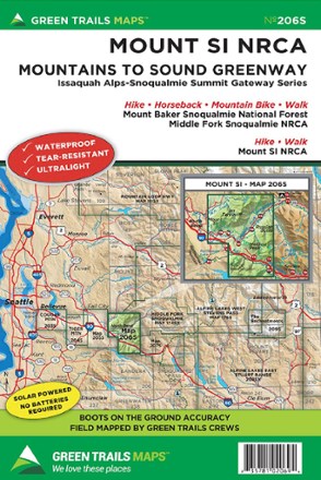
Map 206S - Mount Si NRCA
Green TrailsKnock out a classic Seattle-area hike and explore the surrounding trails with the Green Trails Mount Si NRCA map (206S). It's a beautifully detailed topographical guide that will take you to the top.
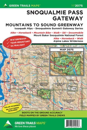
Map 207S - Snoqualmie Pass Gateway
Green TrailsCentered along the Mountain to Sound Greenway, the Green Trails Snoqualmie Pass Gateway map (207S) offers a beautifully detailed topographic guide to this region of Washington state.
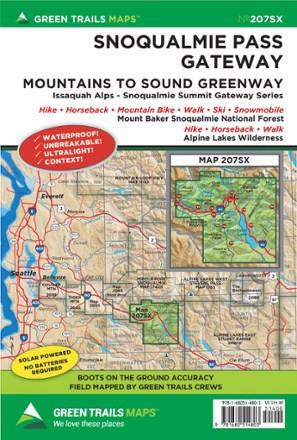
Map 207SX - Snoqualmie Pass Gateway
Green TrailsDiscover the Mountains to Sound Greenway of Snoqualmie summit and the Issaquah alps of the Evergreen State by foot, bike or horse with the Green Trails Snoqualmie Pass Gateway map as your guide.
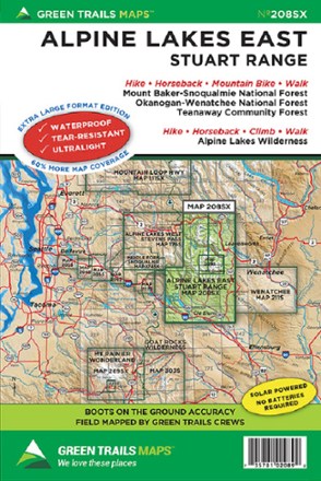
Map 208SX - Alpine Lakes East Stuart Range
Green TrailsFrom serene alpine scenery to densely wooded areas, the Green Trails Alpine Lakes Stuart Range map (208SX) gets your boots on the ground with beautifully detailed topography.
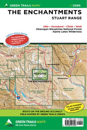
Map 209S - The Enchantments: Stuart Range
Green TrailsFocusing on the area just northeast of Mount Stuart, Green Trails Map 209S - The Enchantments: Stuart Range is your guide to recreation in this stunning alpine region.
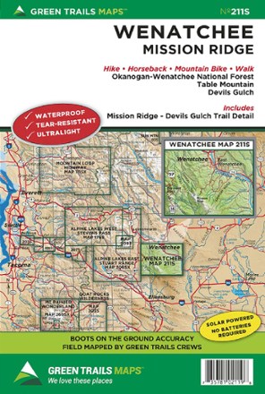
Map 211S - Wenatchee
Green TrailsFilled with beautifully detailed topography, the Green Trails Wenatchee map (211S) takes you from the Okanogan-Wenatchee National Forest to the trails of Mission Ridge and Devil's Gulch.
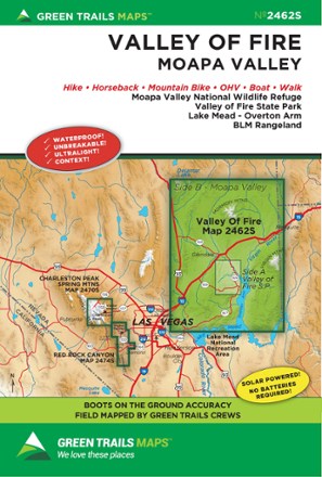
Map 2462S - Valley of Fire, NV
Green TrailsStretching from the Mormon Mountains to the Overton Arm of Lake Mead, the Green Trails Valley of Fire map (2462S) offers a beautifully detailed topographic guide to this region in southern Nevada.
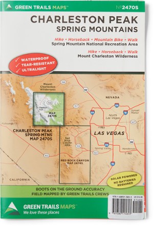
Map 2470S - Charleston Peak, Spring Mountains
Green TrailsExplore Charleston Peak and the Spring Mountains National Recreation Area with Green Trails Map 2470S, a beautifully detailed topographic guide to this region of Nevada.