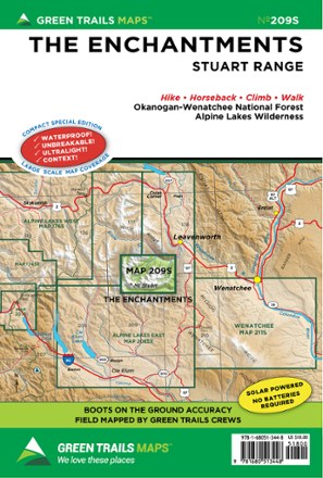

Map 209S - The Enchantments: Stuart Range
Tech Specs
Specifications are maintained on Pack4Back GearDB (community edits and revision history). Values may differ from the manufacturer or your unit—verify before buying.
BrandGreen Trails
Best UseHiking
State / ProvinceWashington
Folded Dimensions9 x 6 inches
Unfolded Dimensions18 x 12 inches
Map Scale1:69,500
Double SidedYes
WaterproofYes
PublisherGreen Trails Maps
Copyright Year2021
Map Number209S
Description
Focusing on the area just northeast of Mount Stuart, Green Trails Map 209S - The Enchantments: Stuart Range is your guide to recreation in this stunning alpine region.
Features
- Green Trails Maps show current trail, road and access information to national forests, national parks, state and local parks, and other public lands
- Covers Mount Stuart and portions of the Okanogan-Wenatchee Forest and Alpine Lakes Wilderness