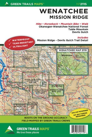
Map 211S - Wenatchee
Tech Specs
Specifications are maintained on Pack4Back GearDB (community edits and revision history). Values may differ from the manufacturer or your unit—verify before buying.
BrandGreen Trails
Best UseHiking
Folded Dimensions9 x 6 inches
Unfolded Dimensions24 x 18 inches
Map ScaleMain map 1:69,500; inset maps 1:24,000
Double SidedYes
WaterproofYes
PublisherGreen Trails Maps
Copyright Year2016
State / ProvinceWashington
Map Number211S
Description
Filled with beautifully detailed topography, the Green Trails Wenatchee map (211S) takes you from the Okanogan-Wenatchee National Forest to the trails of Mission Ridge and Devil's Gulch.
Features
- Covers Okanogan-Wenatchee National Forest, Table Mountain, Devil's Gulch and includes the detailed trail map of Mission Ridge and Devil's Gulch
- Green Trails Maps show the most current trail, road, and access information to national forests, national parks, state and local parks and other public lands
- Printed on waterproof and tear-resistant paper, this map withstands the rigors of adventures in less than ideal conditions