Paper Maps

Washington Road & Recreation Atlas - 9th Edition
Benchmark MapsExplore Washington's lush beauty with the Benchmark Maps Washington Road & Recreation Atlas. It's full of vivid, shaded-relief landscape maps and recreational details for making most out of your trip.
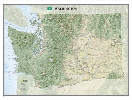
Washington Wall Map - Tubed
National GeographicThe tubed National Geographic Washington wall map offers a dramatic visualization of the Evergreen State's physical geography. Stunning shaded relief depicts mountains and ocean depths.
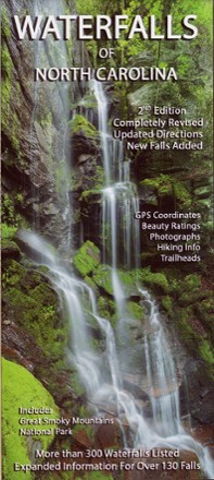
Waterfalls of North Carolina Map - 2nd Edition
Discover the beauty of the Southeast with this 2nd edition of the Waterfalls of North Carolina map. It comes complete with GPS coordinates, trailhead directions and beauty ratings for each one.

Weminuche Wilderness Trail Map
National GeographicThis informative, colorful Trails Illustrated map will help you plan trips and explore the area in and around the Weminuche Wilderness in Colorado.
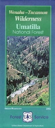
Wenaha-Tucannon Wilderness Map - Umatilla National Forest
Craving some Pacific Northwestern adventure? Hike, camp and explore the northern Blue Mountains of southeastern Washington and northeastern Oregon with the help of the Wenaha-Tucannon Wilderness map.
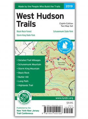
West Hudson Trails Map Set - 8th Edition
New York New Jersey TrailWith 2 maps covering nearly 70 miles of marked trails, the 8th edition of the West Hudson Trails map set is a must-have for exploring parklands west of the Hudson River in Orange County, New York.

Westchester Trails Map
New York New Jersey TrailCovering over 160 miles of marked trails, the Westchester Trails map is a must-have guide to explore the vast trail systems within the parks and wilderness areas of Westchester County, New York.
North America MapsNew England and Mid Atlantic Maps - DEPRECATED
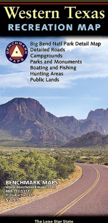
Western Texas Recreation Map
Benchmark MapsRevealing the richness of recreation potential in the Lone Star State, this Benchmark Maps Western Texas Recreation map is a must-have for traveling around the country's second largest state.
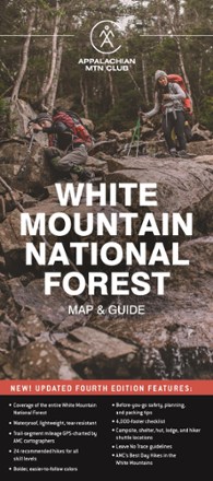
White Mountain National Forest Map and Guide
AMCIf you can only have one map for hiking in the White Mountains, the AMC White Mountain National Forest Map and Guide is the one you will want to carry for your on-foot adventures.
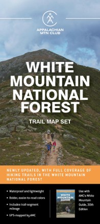
White Mountain National Forest Trail Map Set
AMCHike farther; explore more. Designed for on-the-go use, the AMC White Mountain National Forest trail map set includes 6 waterproof maps that can withstand years of rugged backcountry treks.

White Mountain Winter Recreation Map & Guide
AMCFully updated for the first time in decades, this map and guide from AMC provides explorers the only trail map of the White Mountain National Forest specifically designed for winter recreation.

White Mountains - 6th Edition
Map AdventuresTime to explore the New Hampshire wild. This 6th-edition White Mountains map features even more coverage than before, including all of the Granite State's 4,000-footers.

White Mountains Map Pack
National GeographicThe Trails Illustrated White Mountains map pack combines 2 detailed maps that offer comprehensive coverage of the White Mountains in Vermont and New Hampshire..
North America MapsNew England and Mid Atlantic Maps - DEPRECATED
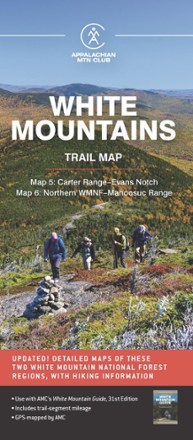
White Mountains Trail Map: Carter Range - Evans Notch & Northern WMNF - Mahoosuc Range
AMCWith detailed trail data and updated info, the AMC White Mountains Trail Maps 5 and 6 guide you through the Carter Range, Evans Notch, North Country and the Mahoosuc Range.