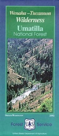

Wenaha-Tucannon Wilderness Map - Umatilla National Forest
Tech Specs
Specifications are maintained on Pack4Back GearDB (community edits and revision history). Values may differ from the manufacturer or your unit—verify before buying.
Description
Craving some Pacific Northwestern adventure? Hike, camp and explore the northern Blue Mountains of southeastern Washington and northeastern Oregon with the help of the Wenaha-Tucannon Wilderness map.
Features
- Encompasses 176,557 acres of the Umatilla National Forest
- Highlights recreation opportunities such as trails, campgrounds, boat launches and more; includes color-coded land ownership boundaries (federal, state and private)
- Includes official U.S. Forest Service district office contact information to check local conditions as well as township and range section numbers