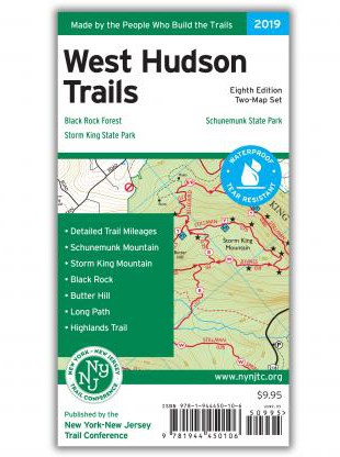

West Hudson Trails Map Set - 8th Edition
Tech Specs
Best UseHiking
State / ProvinceNew York
Folded Dimensions8 x 4.5 x 0.5 inches
Unfolded Dimensions21.5 x 20 inches
Map Scale1:20,000
Double SidedYes
WaterproofYes
PublisherNY/NJ TC
Copyright Year2019
Map Number113 and 114
Description
With 2 maps covering nearly 70 miles of marked trails, the 8th edition of the West Hudson Trails map set is a must-have for exploring parklands west of the Hudson River in Orange County, New York.
Features
- Set includes maps 113 and 114
- Printed on waterproof, tear-resistant Tyvek® for exceptional durability
- 2019 edition features multiple new trails, adjustments to scenic viewpoints, newly preserved lands and the latest trail relocations
- Features nearly 70 mi. of marked trails in Orange County, New York, including more than 10 mi. of the Long Path and nearly 25 mi. of the Highlands Trail
- Inset map shows a portion of Orange County's Heritage Trail
- Parklands in the coverage area include Black Rock Forest, Schunemunk State Park and Storm King State Park
- Scale of 1:20,000 (1 in. = 0.32 mi.)
- 20 ft. elevation contours; UTM coordinate grid
- Maps indicate detailed junction-to-junction trail mileage numbers, parkland boundaries, unmaintained trails, woods, roads, parking areas and bus stop locations
- Maps also indicate viewpoints, mines, springs and other points of interest, as well as park contact information, history and regulations