Filters
No categories available
No brands available
North America Maps

Rocky Mountain National Park Topographic Map Pack
National GeographicThe Trails Illustrated Rocky Mountain National Park topographic map pack includes 2 maps: an overview map of the entire national park and an enlarged map focusing on Longs Peak.
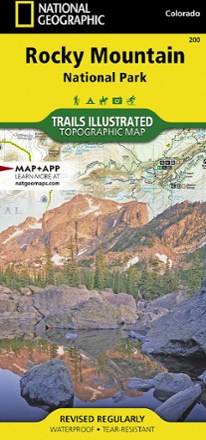
Rocky Mountain National Park Trail Map
National GeographicThis National Geographic Trails Illustrated folded map offers comprehensive coverage of Rocky Mountain National Park in Colorado.
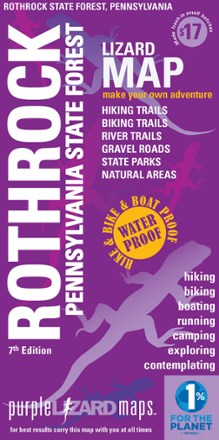
Rothrock Pennsylvania State Forest Map - 7th Edition
Purple Lizard MapsThe Purple Lizard Rothrock map will help you plan all your adventures in and around Rothrock State Forest, located minutes from State College and Penn State.
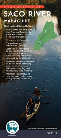
Saco River Map & Guide
AMCFrom Crawford Notch in the White mountains to Saco Bay in the Atlantic Ocean, the Saco River flows through some of the most scenic land in the Northeast. This map and guide charts the 136-mile course.

Saguaro National Park Map
National GeographicThis National Geographic Trails Illustrated folded map offers comprehensive coverage of Saguaro National Park in Arizona.
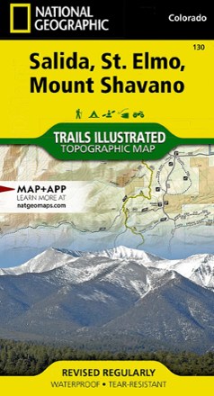
Salida / St. Elmo / Shavano Peak Topographic Map
National GeographicThe Trails Illustrated Salida / St. Elmo / Shavano Peak topographic map offers unparalleled detail for outdoor enthusiasts exploring this area in the heart of Colorado's San Isabel National Forest.

Salida Buena Vista Trails Map - 5 Edition
Latitude 40 MapsReady to explore in the heart of the Rockies? Full of trails for mountain biking, hiking, OHV and fishing, this Latitude 40 Maps Salida Buena Vista Trails map is an ideal adventure buddy.
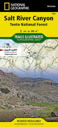
Salt River Canyon Topographic Map
National GeographicCreated in cooperation with the U.S.Forest Service and Bureau of Land Management, the Trails Illustrated Salt River Canyon Topographic Map is an essential companion for your outdoor adventures.

San Bernardino National Forest Trail Map
Calico MapsDiscover trails and campgrounds from Big Bear Lake to Idyllwild to Palm Springs with the foldable, pocket-sized convenience of the San Bernardino National Forest Trail Map as your guide.
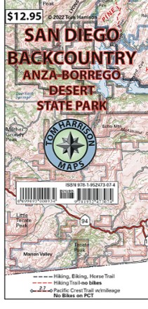
San Diego Backcountry Map: Anza-Borrego Desert State Park
Tom Harrison CartographyGet to know San Diego's backyard with the Tom Harrison Cartography San Diego Backcountry map. This full color map highlights some of the best hiking and biking trails near the city.

San Diego County Trail Map
Calico MapsAn easy-to-read, detailed overview map showing every preserved area open for public use, the Calico Maps San Diego County trail map is an excellent companion exploring San Diego's backcountry.

San Gabriel Mountains Map - 6th Edition
Wilderness PressLying between the Los Angeles Basin and the Mojave Desert, the San Gabriels are full of natural beauty. Explore them to your heart's content with this San Gabriel Mountains map from Wilderness Press.
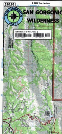
San Gorgonio Wilderness Map
Discover a popular Southern California hiking destination with the San Gorgonio Wilderness map from Tom Harrison Maps, the only guide you will need for a day or overnight trip.
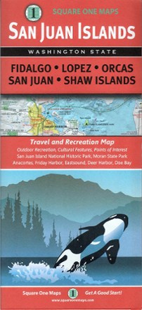
San Juan Islands Travel And Recreation Map
Square One MapsWhether you're hoping to spot an orca from the shoreline, or meandering through one of many incredible parks, the San Juan Islands map guides you to the bounty of scenic wonder just a ferry ride away.